Dr David Owen’s Thames boating holidays of the 1950s were followed by canal cruising in his own boat, and by the late 1960s he had become a noted author of inland waterway books. He was a geologist with a museum career in Liverpool, Leeds and Manchester, and enthusiastic chair of IWA’s Manchester Branch. In September 1970, he led a small team of waterway supporters in the North West, some gathered from his night school talks at Manchester University on Industrial Archaeology and Inland Waterways, to form what would become the Boat Museum Society with the aim of opening the North Western Museum of Inland Navigation, at a site eventually secured from British Waterways at Ellesmere Port, where there was a range of disused waterway buildings at the junction of the Shropshire Union Canal’s derelict docks with the Manchester Ship Canal. It took until 1974 before an intense period of work party activities could start at the planned museum site, but there had been earlier activity elsewhere around the country rescuing old historic boats that might otherwise have been destroyed.
[The photo, above, shows founding Museum members, (from the left) Tony Lewery, Peter Froud, David Owen, Harry Arnold and Tony Hirst at the unveiling of a milepost on the Shropshire Union Canal at Ellesmere Port – the museum’s other co-founder, Edward Paget-Tomlinson was unable to be present for the occasion]
By 1976, the museum was ready for its formal opening by Sonia Rolt, widow of IWA co-founder Tom Rolt. David Owen was now elevated to IWA Manchester Branch’s President, and chair of the Museum’s Board of Management. The Island Warehouse had been secured from vandals, the top basin cleared and the Toll House restoration begun. The Museum’s exhibition had been designed by Tony Lewery in the ground floor of the Toll House. It was staffed by volunteers and initially open only at weekends. At the end of the summer, the museum closed for the season, but the restoration of the Toll House, and care for the collection of boats which had been brought to Ellesmere Port, continued. The Queen and the Duke of Edinburgh visited in November 1979.
In January 1981, the Boat Museum Trust, a partnership between NWMIN, the very supportive Ellesmere and Neston Borough Council and Cheshire County Council, was established to administer the Museum and Tony Hirst was appointed Director. This relationship between the Museum and the two local authorities was crucial in ensuring that the Museum became firmly recognised as an asset to the local community. Government funding aimed at regenerating Merseyside in 1981-82 enabled restoration of the remaining dock buildings, and there were visits from government minister Michael Heseltine and Prime Minister Margaret Thatcher. New exhibitions were opened and The Boat Museum, as it had become known, won a number of prestigious awards, including the Council of Europe’s Museum of Europe award jointly with the Museum du Vivant du Canal du Centre in Belgium for 1984.
[The above photo show the boat builders’ workshop at the Island Warehouse at the Museum in its early years – IWA Collection]
1990 saw the opening of the David Owen Archive (now National Waterway Archive) on the ground floor of the restored slipway workshops by the Duke of Westminster. This is now the central archive for Canal & River Trust’s historic records, and also holds some IWA archives and IWA’s historic book collection on permanent loan.
Running the museum was not always plain sailing, however, and the museum’s survival became more challenging in the late 1980s and 1990s, when competition for people’s leisure time meant less income for running and developing. One of the museum’s many challenges was getting suitable insurance cover for its wide-ranging activities, which was covered by IWA’s then expanding insurance arrangements. Tony Hirst’s success in managing the museum led him to become chairman of the Association of Independent Museums between 1990 and 1994 and this led to many other museums around the UK joining with IWA’s insurance arrangements to improve buying power with insurers. For several years, IWA’s insurance arrangements extended to cover even the Royal Naval Museum in Portsmouth. Tony Hirst’s work was recognised with an OBE in 1995 for Services to Museums.
[The photo above shows the short boat ‘George‘ being prepared for exhibit at the Museum – by Harry Arnold / IWA Collection]
By the late 1990s, both the Boat Museum at Ellesmere Port, and British Waterways’ Museum at Gloucester Docks were running at a deficit and their future as separate museums had become unsustainable. Increasing running costs and greater competition for visitors’ leisure time had taken their toll. In 1999, it was agreed that both museums would join together, along with BW’s small canal museum at Stoke Bruerne, under a charity The Waterways Trust (TWT), controlled by British Waterways. Tony Hirst retired as Director of the Boat Museum at Ellesmere Port at the end of 1999. TWT was then absorbed into Canal & River Trust shortly after the latter became operational in 2012, which has ensured the Museum’s long-term survival.
[The top photo shows celebrations at the official opening – by W. Broadhurst / IWA Collection]
[Photos below show another royal visitor, the Duke of Gloucester – IWA Collection; and museum exhibits ‘Gifford’ and Mossdale. Gifford was given to the museum by co-founder Edwards Paget-Tomlinson – photo by Harry Arnold]
IWA is delighted to announce the appointment of Hugh Pearman as the new Chair of its Heritage Advisory Panel. As an experienced and celebrated journalist, editor, and author, he brings a background gained in a distinguished career and a deep commitment to preserving the architectural and engineering heritage of Britain’s inland waterways.
Hugh spent over three decades at the forefront of architectural journalism. From 1986 to 2016, he served as the architecture and design critic for The Sunday Times, and later as editor of the RIBA Journal from 2006 to 2020. His latest book, About Architecture, explores engineering and architectural achievements including those related to canal heritage. His extensive contributions to media and heritage have included roles on Arts Council England’s architecture advisory group, co-founding the RIBA Stirling Prize in 1996, and chairing the ‘Art for Architecture’ initiative at the Royal Society of Arts from 2000 – 2004. He was made an Honorary Fellow of the Royal Institute of British Architects in 2001 and his contributions to architecture and the arts were recognised with an MBE in 2019.
Beyond his professional life, Hugh is a longstanding IWA member with a personal enthusiasm for the heritage of Britain’s inland waterways, providing planning and architectural guidance for the Association’s London Region. He is the current Chairman of a campaigning architectural heritage charity, The Twentieth Century Society.
Commenting on his appointment, Hugh said:
The waterways network is a precious and rich working historical resource, available to all, linking urban and rural locations. It exists today because of the time and effort of the thousands who have worked to save and enhance it since IWA’s founding. It is now at a vulnerable moment. We need to be on high alert and make the strongest possible case for it as a key national heritage asset.
IWA recognises the challenges facing the UK’s waterways today. Historic structures are aging, climate change is exerting pressure on water management, and funding for conservation remains uncertain or inadequate. Hugh’s leadership arrives at a crucial moment as the Association works to safeguard the waterways from degradation or loss.
Under his guidance, the IWA Heritage Advisory Panel will continue collaborating with navigation authorities and other stakeholders to ensure that conservation and celebration of the network’s heritage remain a priority.
A major aim of the reforms is to increase the rate of house building by changes to the planning system, including a mandatory housing-need assessment method, and designation of parts of the Green Belt as ‘grey belt’ where development will be permitted.
Whilst canalside redevelopment of ‘brownfield’ sites in built-up areas is usually beneficial to the waterways, major built developments in the countryside that destroy the rural environment of waterways can damage their heritage setting, wildlife, tourism value and economic benefits. This is particularly so in Green Belt areas which are designated primarily to prevent urban sprawl, promote urban regeneration, and safeguard the countryside.
IWA’s response is critical of the Green Belt and the ‘grey belt’ proposals, and the general approach of blaming the local planning system for failures of the house building market. There are many other detailed changes that IWA has commented on including ‘sustainable’ development, the control of major housebuilders over housing market supply, and ‘affordable’ housing. IWA also expressed concerns about the landscape impacts of increasingly large wind turbines being built onshore, and a preference for rooftop solar rather than large scale solar farms on agricultural land.
Some of the consultation questions provided opportunities to promote better recognition by the planning system of the needs for residential boat moorings provision, the potential for water transfer by canals, reduced planning application fees for canal restoration charities, recognition of the tourism value of waterways, and new and updated canal Conservation Areas. A detailed response about waterways freight was also included, as an appendix.
IWA’s comments on residential boats were:
Another group of people totally ignored by the National Planning Policy Framework is residential boaters. The canals and navigable rivers are home to tens of thousands of people living full-time on boats. These include static houseboat residents, ‘liveaboard’ boaters on river cruisers and canal narrowboats that spend much of their time moored in marinas or on linear off-side canal berths, and waterborne travellers licenced by Canal & River Trust as ‘continuous cruisers’. In the absence of any planning guidance, there is a troubling neglect and inconsistency in local plans and the response of local planning authorities to planning applications for the provision of residential boat moorings. Some councils allow marinas to include residential berths, many simply ignore the issue, but others specifically exclude it by policy or conditions. Living afloat is widespread and increasing, and local planning authorities with inland waterways in their areas should be required by the National Planning Policy Framework to assess and make appropriate provision for this as an integral part of their housing provision. Such allocations should take account of the locational restrictions on provision of residential moorings compared with ‘bricks-and-mortar’ properties, of the lesser landscape impacts of low-profile boats compared with buildings, and of the need and ability of boats to move to access services.
IWA has written to Network Rail to express concern about the ongoing problems with the opening times of the Vazon bridge over the Stainforth and Keadby Canal.
The Vazon Sliding Railway Bridge works by sliding open to allow boats on the Stainforth and Keadby canal to pass, before returning to its original position, enabling trains to continue with their journey. The crossing connects trains between Doncaster, Scunthorpe and the Lincolnshire coast and is a busy rail freight route. The sliding bridge is Britain’s only sliding railway bridge over a canal, with the original structure dating back to the 1860s.
Sensors on the structure alerted Network Rail teams to a a fault with its mechanism which involves a key component that allows the bridge to slide across the canal. The part needs replacing and a new one is now being specially made.
Prior to the maintenance work, the bridge was opened for boaters as required, but at the time of writing the bridge is only opened at 10pm each day, with no indication of when normal service will resume. One daily 10pm opening is not only potentially dangerous due to the need to cruise in the dark but takes no account of tides, further limiting the availability of navigation. The bridge is now illuminated and signed to aid boaters, but whilst this is welcome, raises the further concern that Network Rail are looking to make this one opening in 24 hours a permanent arrangement.
Navigation rights at the Vazon bridge precede the railway as the Stainforth & Keadby Canal was already in use when the rail line was built and are covered by Act of Parliament. IWA has asked for reassurance that, once these bridge repairs are completed, the rail bridge will return to its normal service of being opened for boaters when required, and when this service would be reinstated.
In the meantime, thanks are due to Celyn Winter and Callum Joinson, two members of the “Try the Trent” group, who have been helping boaters navigate through the rail bridge and the nearby road bridge since night time access was required a month ago.
Update: Keadby Bridge reopened on 24th September after engineers completed their investigations.
Fund Britain’s Waterways is a growing action group currently comprising 136 member organisations representing hundreds of thousands of users and supporters of inland waterways. Its sole purpose is to campaign collectively for an increase in government funding of Britain’s inland waterways to avert their decline, and to promote awareness of the huge economic, environmental and social well-being value they provide.
Our request to Government is that:
the importance of our inland waterways as a unique national asset and part of the national infrastructure is recognised;
the deterioration in condition that is already happening is acknowledged; and
a comprehensive review of Government funding for all our inland waterways should be carried out as a matter of urgency, with the aim of defining a sustainable funding solution which will enable the current benefits of our canals and rivers to be maintained and enhanced for future generations.
To fund our inland waterways properly would cost a small (in Government terms) investment measured in millions, not billions, of pounds. In return, the country would continue to obtain billions of pounds of benefits for health, economic and environmental benefits, much of those benefits being enjoyed in less well-off areas.
We are already seeing the waterways deteriorating and businesses suffering. Without urgent action the inland waterway network will be in serious jeopardy. If the condition of waterways continues to deteriorate, waterways will ultimately have to be closed, businesses will be harmed, communities placed at risk, the benefits lost, and millions of hours of volunteer effort wasted.
IWA has sharply criticised a lazy proposal by Government body Natural Resources Wales (NRW) that says it is considering demolishing Aberdulais Aqueduct, which carries the Tennant Canal over the River Neath.
In a low-key consultation quietly issued by the Welsh Government quango, NRW lists five options for spending millions of pounds to reduce the flood risk for 27 properties alongside the river Neath, which have a long history of flooding. Two of the options, believed to be favoured by NRW, involve complete or partial demolition of Aberdulais Aqueduct, which would forever frustrate restoration proposals to bring the Neath and Tennant canals back to life as well as impacting the wellbeing, environmental and heritage benefits provided by the Canal.
The Aberdulais Aqueduct is a Scheduled Ancient Monument that spans the River Neath immediately south of the A465 in Aberdulais. The structure is located approximately two miles north-east of Neath. It consists of a 104-metre-long structure comprising ten arches of overall length 66 metres bridging over the River Neath and a retained section extending a further 28 metres on the east bank of the River. The aqueduct is of masonry construction and the condition of the structure has deteriorated significantly over the years since navigation ceased nearly a hundred years ago. The Aqueduct historically formed a navigable link between the Tennant and Neath Canals and was constructed to also cross over an old 1750s navigable cut on the eastern side of the river. Construction of the aqueduct began in 1823, and it was formally opened in May 1824.
The aqueduct lies about 80 metres to the south of the confluence between the River Dulais and the River Neath. Just south of the confluence of the rivers a weir is located from which water is abstracted to supply the Tennant Canal. This weir has failed, and Natural Resources Wales has proved uncooperative in approving its repair, leading to the Tennant Canal being nearly dry in recent years, with damage to the environment and loss of wildlife from the Canal.
In times of flooding, the Aberdulais Aqueduct is perceived as an obstruction to the flow of the river. Flooding of the adjacent land and properties has occurred on several occasions. The properties in Canal Side have a long history of flooding, with damaging events in December 1979 and October 1998. In recent years, climate change has worsened the situation and floods have become more regular, with damage to the aqueduct. A structural inspection report commissioned by IWA’s Waterway Recovery Group in December 2021 showed that urgent works were required to prevent further damage to the Ancient Monument, but nothing has been done so far. In its consultation, Natural Resources Wales admits that demolition of the aqueduct would have relatively little impact in reducing floods, but the local view is that NRW would like to demolish the aqueduct so it can be seen to be doing something.
IWA Deputy Chair Sue O’Hare said “Whilst the Inland Waterways Association has every sympathy with the residents of Canal Side, demolishing one of Wales’s renowned historic structures would be nothing short of bureaucratic vandalism while not achieving the aim of significantly reducing the flood risk. Over the years a great deal of voluntary effort and public money has gone into bringing the Neath Canal back to life for the benefit of the community. IWA calls upon the owners of the Neath and Tennant Canals (St Modwen and Port Tennant Canal Company), Neath Port Talbot Council and the government agencies concerned to work together to rescue this precious piece of heritage and amenity for the benefit of future Welsh generations.”
National Resources Wales’s consultation, which closes on 26th February is at https://bit.ly/AberdulaisENG. The consultation conveniently omits any mention that the Aqueduct is a Scheduled Ancient Monument, or any historical background or its purpose. Rather, it just suggests demolition as if the Aqueduct were just some pile of inconveniently discarded rubble. The consultation does admit, however, that even if the aqueduct were to be demolished, that it would “unlikely to be able to remove the flood risk to the Aberdulais community entirely”. Alternative, albeit possibly more expensive, measures of making properties more flood-resilient, appear not to have been considered. However, the consultation does admit that “Additional measures (necessary) are likely to take a whole catchment approach and may include improved warning and informing, nature based solutions as well as engineered defences.”
IWA continues to engage with any new public consultations and parliamentary petitioning opportunities to help protect the waterways and their users from undue impacts of HS2.
For the extensive work already underway on Phase 1, London to Birmingham and to Fradley/Handsacre we rely on local Branches and members to monitor construction issues affecting their waterways. You can contact us for advice, and any specific problems can be reported direct to the HS2 helpline: HS2enquiries@hs2.org.uk Freephone: 08081 434 434 . Please copy your comments and HS2’s responses to IWA then we can monitor the bigger picture. Contact HS2@waterways.org.uk
PHASE 1 (London to Fradley)
Phase 1 between London, Birmingham and Fradley is under active construction with tunnels, major viaducts, and road crossings being followed by large scale earth moving for cuttings and embankments. The engineering works are said now to be 40% complete, with the first services due to run between London and Birmingham “by the early 2030s”.
Paddington Arm
In the London area, work is underway on most of the tunnels and several of the viaducts.
The route passes below the Regents Canal and the Paddington Arm in tunnels at depths of 12 to 30 metres. More visible works by the contractor SCS are two temporary bridges over the canal near Willesden Euro Terminal site, one a conveyer bridge for spoil, the other for transporting tunnel segments.
Grand Union Canal
The route emerges from tunnel to cross the Colne Valley on the very long but attractively designed Colne Valley Viaduct with arched spans over the Grand Union Canal and adjoining lakes. The piers are under construction and the deck is being attached by a huge launching girder. The canal crossing is timetabled for January to March 2024 with daytime closures requested. There have been no complaints to CRT so far from this construction work by the contractor ALIGN, although concerns remain about the long-term noise impacts of the operational railway, here as at other canal crossings.
Wendover Arm
Further north, an unresolved concern is potential effects of a deep cutting on the springs feeding the Wendover Arm and Wilstone Reservoir. Modelling of the aquifer has been completed and the results are with the Environment Agency for scrutiny but are not yet published. Meanwhile, the HS2 Chiltern AONB Panel has awarded £300k to the Wendover Canal Trust for work to upgrade the towpath.
Oxford Canal
The section of route being constructed by the contractor EKFB includes culverting part of the Boddington Feeder to the Oxford Canal. The Oxford Canal Viaduct crosses the summit section by Willison’s Bridge 128 near Wormleighton where a temporary haul road bridge has been built. The canal wall under the viaduct will have sheet piles with a concrete capping. After a public consultation, the viaduct piers and offside abutment wall will have masonry cladding, rather than a concrete finish, although the nearest canal bridges are brick. IWA’s main concern remains the operational noise impact from trains on this currently tranquil and remote part of the canal, both at the viaduct and where the route skirts a loop in the canal near Bridge 127.
In Warwickshire, Staffordshire, and Birmingham the contractor is BBV and IWA has attended several of their liaison meetings with CRT to discuss the designs of various canal crossings and help minimise construction impacts.
Grand Union Canal
The Longhole Viaduct over the Grand Union Canal, close to Longhole Bridge 31 near Welsh Road, will be a full span crossing with piers set back from the canal. The main span will be launched (pushed in) to minimise the canal closure. Construction is due later this year. The temporary conveyer bridge over the canal for moving spoil from the nearby tunnel is due to be removed in May in an overnight stoppage. CRT received payment for the conveyer crossing as it saved many lorry journeys for the contractor.
Birmingham & Fazeley Canal
The Birmingham & Fazeley Canal viaduct crossing at Curdworth, below Lock 5, is adjacent to the M42 box bridge which has already been installed. The first offside pier coffer dam started with piling in April, to be followed by the towpath side pier with 40 metres deep piling, requiring a short towpath closure and diversion. The deck beams will be lifted in with a giant crane on the north side, then pre-cast units set between the beams, with each lift requiring locally controlled short canal closure. When complete the viaduct will be used as a temporary haul road for construction of the adjacent embankment. The canal stoppage details over the next 2 years are yet to be confirmed.
Lichfield Canal
The Cappers Lane Viaduct crossing of the Lichfield Canal near Huddlesford will include a canal diversion to maintain headroom, as agreed after earlier campaigning by IWA and Lichfield & Hatherton Canals Restoration Trust. The new channel is to have a concrete invert and walls, with design details of the interface with the existing channel ongoing. The design of the replacement Cappers Lane road bridge is now agreed to have brick-faced wing walls with a concrete string course, patterned concrete abutments, and open style parapets. The bridge construction is imminent, but there is no firm timetable yet for the canal channel or the viaduct. The displaced boats of Lichfield Cruising Club have now moved into their completed new basin, which was funded by HS2, after many years campaigning by LCC and IWA.
Trent & Mersey Canal
There has been extensive clearance work around Wood End Lock above Fradley Junction for construction of the Trent & Mersey Canal Viaduct, and for the Handsacre Link which will now just miss the canal following IWA’s earlier campaigning. But there has been no update on the final design of the viaduct recently. A temporary canal bridge will be needed above Shade House Lock to construct the short stub of embankment north of the viaduct if this is built as part of Phase 1 as originally planned (although logically it would be done as part of Phase 2a).
Birmingham & Warwick Junction Canal
The design of the Saltley Viaduct in Birmingham across the Grand Union Canal below Garrison Locks has a wet abutment, and the site is tightly constrained. However, the proposal to close and locally infill the canal to aid the preferred method of construction is not accepted by CRT which wants a narrow channel maintained for boats and water supply. The construction timing is currently uncertain. There is also a highway bridge crossing but with its piers set back from the canal this is less of a problem.
Digbeth Branch Canal
Also in Birmingham, construction of the Curzon Street Viaduct across the Digbeth Branch by Lock 6 is scheduled for winter 2023/24, possibly using night-time closures. CRT want to avoid a simultaneous closure with the Saltley Viaduct works.
PHASE 2a (Fradley to Crewe)
Between Fradley and Crewe, early Environmental Works (trees, ponds, bat houses, etc) and some other enabling works are underway and statutory notices have been served on landowners, including CRT, but matters have been otherwise quiet. The main concern with Phase 2a is construction of the Great Haywood Viaduct and subsequent operational noise impacts on the marina and Trent & Mersey Canal. On 9 March the Government announced a 2-year delay to construction of Phase 2a. The design contract was due to be let about now, followed by a main works contract later this year, but the timescale for these is now unclear.
Meanwhile, several towpath improvement projects funded by HS2 are proceeding as planned.
Trent & Mersey Canal
Towpath work between Shade House Lock above Fradley Junction and the A515 Kings Bromley Road Bridge has now started. It is being funded by HS2’s Road Safety Fund through Staffordshire County Council and being carried out by their contractors Amey. The 3km length includes some bank protection and is expected to take 6 months. There will be towpath closures and, with access at Woodend Lock being currently closed by HS2, there are no intermediate access points so it may be closed throughout. However, CRT are conscious of how well used is this section, particularly over the summer and at weekends, so have asked that closures be limited as much as possible in length and to their working days of Monday to Friday. This section of towpath is unusually wide so people may be able to pass behind the sections being worked on.
In addition, funding has apparently been allocated by the Department for Transport for a new footbridge over the canal between Shade House and Wood End to connect the towpath with an offside footpath. This would presumably be separate from the HS2 viaduct. The canal is quite wide here so it would be a major structure but as yet there is no design. It would seem easier and less expensive to simply reinstate public access to the tail bridge at Wood End Lock which is currently closed by the HS2 works.
Staffordshire & Worcestershire Canal
Towpath resurfacing from Great Haywood to Milford is being funded by HS2 through the Trent-Sow HS2 Group (on which IWA is represented) and is due to start in April. The 3.75km length is expected to take 5 months. CRT have requested further funding from the Department for Transport to continue this from Milford to Baswich and the A34. They are also making funding bids to HS2’s Community & Environment Fund for work on the Junction Bridge and toll office at Great Haywood, and to their Biodiversity Fund for work on hedges, reedbeds etc. on both the S&W Canal and T&M Canal.
PHASE 2b West (Crewe to Manchester)
CRT are negotiating a ‘Side Agreement’ to the current Bill, based on their Phase 1 agreement with some improvements for clarity and protection, which may avoid the need for a Select Committee petition hearing. The hearings have started but there has been no contact from the Committee or HS2 about a hearing date. Previously, CRT with route-wide interests has been timetabled nearly last, and IWA has been grouped with them. IWA’s main petition is on noise mitigation at the canal crossings, one issue that CRT has not significantly addressed. CRT’s main outstanding concerns are the viaduct crossings. Two more Additional Provisions are expected although their scope is not known and the impact on the timing of the Hearings is uncertain.
Middlewich Branch Canal
The three Shropshire Union Canal Viaducts carry additional tracks into the Crewe North Rolling Stock Depot, crossing the canal between Bridges 25 and 26 on the Middlewich Branch. In place of the visual impact of 3 adjacent viaducts with different alignments and heights, a single covered tunnel had been considered (illustrated in Canal Boat magazine in 2019) but CRT are currently reconsidering the design. There will also be a new road bridge carrying the realigned Clive Green Lane, and IWA’s Additional Provision petition asks for changes to a towpath access cycle ramp.
Trent & Mersey Canal
There are three crossings of the Trent & Mersey Canal, by the River Dane Viaduct near Bridge 177, Puddinglake Brook Viaduct between bridges 179 and 190A, and the Trent & Mersey Canal Viaduct at Billinge Flash near Whatcroft. This flash is the most notable area on the whole route of former high subsidence due to historic brine pumping. CRT are asking for longer viaducts with more spans to better maintain the open views.
Subsidence Risk
An information paper published on 3 March on “Understanding the Ground Risk across the Cheshire Plain” seeks to retrospectively justify HS2’s choice of route across the subsidence prone salt field. It identifies the two areas most at risk from ground movement as Billinge Flash and around Clive Green Lane, which may also affect the new road crossing of the canal there. It recommends the viaducts use bored piles with jacking points but does not address the transition between viaducts and embankments.
PHASE 2b East
The 2021 Integrated Rail Plan cut back the plans for the Eastern Leg of HS2 to terminate at East Midlands Parkway, near the River Soar, with the route north through Toton to Leeds being dropped. Although no longer allocated any funding or timescale, it has not been entirely abandoned and the route safeguarding directions remain in place. A new study of how to take HS2 into Leeds was promised but has not yet started. Neither is there any timetable for a further Bill for the remaining section of HS2 East, nor any sign of the amended plans needed to connect this with East Midlands Parkway.
This unsatisfactory state of affairs leaves both the Chesterfield Canal and the Ashby Canal restorations in limbo. The Chesterfield Canal at Staveley is having to make provision for a rail bridge crossing that may never be built. The housing development at Measham that would fund restoration of a section of the Ashby Canal is on hold pending a decision on an alternative route which was promised in 2018.
Northern Powerhouse Rail High Speed Lines
The Integrated Rail Plan also included plans for two new sections of high speed lines as part of the Northern Powerhouse Rail plans for a Transpennine route upgrade: from Warrington to a junction with HS2 West and from Manchester to Marsden. However, without any detailed route plans having been published their impacts on waterways are uncertain, and with no funding allocated or firm timescales, these plans seem to be just aspirational.
IWA’s Heritage Advisory Panel supported the North and East London Branch in objecting to a proposal from Canal and River Trust to dispose of the strip of land alongside Commercial Road Lock on the Regent’s Canal. IWA felt that disposal of this land threatened the canal’s heritage setting and amenity value.
Taking Limehouse Basin as a meeting place for boats between the tidal Thames and the inland canals, this lock stands as a gateway to the canal system. The two lock chambers fit neatly into the space between two historic bridges, twin arches of the Commercial Road Bridge and the fine single arch of the docks railway, now DLR. This canalscape is very important to the character of the designated Regent’s Canal Conservation Area and we felt that anything built on the site would inevitably damage these views.
Additionally we believe that it is inappropriate to dispose of any land that forms part of the operational environment for a canal lock. The second chamber is an important heritage feature, and it deserves to be kept to show how the canal operated in its busy commercial days. It is also important to make sure that restoring the second chamber is possible in the future, even if not currently an option.
Objections were also raised by the Friends of Regent’s Canal, the Commercial Boat Operators Association, the Lower Regents Coalition and the Greater London Industrial Archaeology Society. The Canal and River Trust responded to the objections saying that they have “carefully considered the various representations made”, and “accept that that the sale of this land on a freehold basis is not in the best interests of the Trust and we will not be progressing it.”
IWA North Staffordshire & South Cheshire Branch submitted an objection to a Canal & River Trust planning application for Listed Building Consent for alterations at Hazelhurst Top Lock (Lock 10). IWA objected strongly on heritage and health and safety grounds to one aspect of the application, which was the proposal for a fabricated “restrictor” on the end of the balance beams. Despite what the Heritage Design and Access Statement says, we were concerned that this would have had a detrimental impact on the heritage setting of the Listed lock (which is also part of a conservation area), and would have introduced a new unexpected hazard to boaters operating the lock, who would no longer be able to pass around the end of the balance beam in an emergency, for example if the gate is swinging closed of its own accord. The problem at this lock is that the balance beams are too long for the original stonework of the lock. We suggested that this could be rectified by reducing the length of the balance beams and adding additional weight underneath (if the balance of the gate is affected), as has been done in many other locations around Canal & River Trust’s network of waterways. This view has been endorsed by IWA’s national Navigation Committee. Objections were also submitted by the Caldon and Uttoxeter Canals Trust and the Historic Narrow Boat Club for the same reasons.
We recently heard that our objections have been taken on board, as Canal & River Trust have removed the part of the application referring to the balance beam “restrictors”. They are now planning simply to move the handles on the end of the balance beams to align with the quadrant below, as well as investigate the possibility of shortening the beam.
In a bid to highlight the importance of the waterways network, and as the only independent and national charity dedicated to supporting all of Britain’s navigable rivers and canals, we have produced a new report: Waterways for Today.
We are pleased to announce that the report was officially launched at our 63rd Annual General Meeting on Saturday 24th September at The Guildhall in Lichfield. News of the report was very well received by members at the AGM and hard copies were distributed to the branches in attendance.
Visit the Waterways For Today section on our website here or contact Head Office to request a hard copy.
The report demonstrates how inland waterways can contribute to the country’s economic recovery and outlines the 12 most significant benefits that the inland waterways can bring to our economy, environment, local communities and lives.
IWA petitions against HS2 (Crewe – Manchester) Bill
The Bill received a second reading on 20 June and was referred to an HS2 Select Committee to hear petitions from those directly and specially affected.
The HS2 (Crewe – Manchester) Bill for Phase 2b West affects the Middlewich Branch of the Shropshire Union Canal, the Trent & Mersey Canal, and the Ashton and Rochdale canals in Manchester.
IWA’s main objection to the plans is the absence of adequate noise mitigation measures for canal users.
The plans include (i) the Crewe North Rolling Stock depot and three adjacent viaduct crossings of the Middlewich Branch, (ii) three separate viaduct crossings of the Trent & Mersey Canal north of Middlewich, and (iii) a main construction compound in Manchester. At each of these interfaces the canals would be subject to excessive noise unless better mitigation is provided.
IWA has responded to several previous consultations, including the National Infrastructure Commission and the Transport Select Committee, criticising the choice of route through an area prone to brine subsidence, and its adverse effects on the canals’ landscape, environment and heritage.
We are particularly concerned that the residential use of boats is not adequately assessed, and the noise mitigation measures proposed are therefore inadequate where HS2 crosses or runs near to each of the affected canals.
Noise Mitigation
Our canals are major heritage assets, wildlife sites and recreational corridors, valued for their tranquillity, and each HS2 affected location is used by tens of thousands of people each year.
Noise levels close to HS2 bridges will be extremely high without acoustic barriers and the noise of passing trains will propagate over a wide area. Although this is intermittent, it is the peak noise levels that cause maximum disturbance, and any form of averaging noise levels is misleading.
HS2 automatically includes noise barriers, earthworks or fencing, to protect residential properties but continues to misrepresent all canal users as ‘transitory’ and thus not worthy of consideration. A few canal crossings benefit from the proximity of inhabited buildings, but most crossings in rural areas are given no protection and will be subject to intolerable levels of noise.
Our Petition explains in detail the wide variety of ways in which people use and reside on the waterways, and the vulnerability of moored boat occupants to external noise. Canal boats are residences, and whilst not always permanently occupied, and capable of moving, wherever more than a few boats are moored, permanently or intermittently, it is likely that people will be living there for significant periods, so their acoustic environment should be protected.
Parliament failed to address this issue for Phase 1 and for Phase 2a, but that is no reason why the same mistakes should be repeated with Phase 2b.
Canal Interfaces
IWA’s Petition details the usage of the canals around each HS2 interface. On the Middlewich Branch permanent moorings at Park Farm and visitor moorings at Yew Tree Farm are affected. On the Trent & Mersey Canal visitor moorings at Bramble Cuttings, popular temporary moorings at Billinge Green Flash and permanent moorings at Oakwood Marina would be particularly affected.
At each canal crossing location there should be 4-metre-high noise barrier fencing across the viaducts and on adjacent embankments. In Manchester the construction compound should have substantial noise fencing.
First Additional Provision
The Bill, as deposited, would also affect the Bridgewater Canal and the Manchester Ship Canal, although the Government’s last-minute decision to remove the Golborne Link through an Additional Provision (AP1) removes the threat to moorings on the Bridgewater Canal, for now at least.
However, AP1 includes some new works on the Middlewich Branch at Clive Green Lane Bridge that, whilst providing improved cycle access, would worsen pedestrian access. IWA’s second Petition therefore asks for retention of the access steps and towpath hedge.
Read IWA’s Petitions:
The full text of both IWA petitions; that against the Bill and that against the First Additional Provision; as published on the Select Committee website, can be seen here:
The history and architecture of our waterways was the topic of a recent meeting of the All Party Parliamentary Group for the Waterways (APPGW).
Michael Fabricant MP, Chair of the APPGW, welcomed parliamentarians and representatives of waterway organisations to the video meeting. Presentations from 3 well known speakers from the field of waterways heritage and architecture were followed by a general question and answer session.
Liz McIvor, historian, author and TV presenter, talked about the physical remains of industrial waterways and their role in our future landscapes. Jo Bell, poet, author and industrial archaeologist, then presented on the importance of the culture of our canals as well as the built heritage, while Hugh Pearman MBE, architecture critic and author, concluded the presentations by talking about why architects, planners and developers must respond creatively to our waterways heritage.
The meeting also heard Jo Bell, who is a former Canal Poet Laureate, recite her poem, Springtime at the Boatyard.
The question and answer session included questions and discussion with MPs and peers as well as representatives from navigation authorities and waterway organisation. Among the issues discussed were better ways of protecting waterways from inappropriate development, the uniqueness of each individual waterway, Conversation Area status and other designations, and the cultural importance of the horse in the history of the waterways.
IWA’s West Riding Branch heritage champions have saved this lock cottage near Halifax on the Calder and Hebble, at the last minute, from the auctioneer’s hammer.
IWA felt that in this case sale into private ownership was not the best future for the property as it is an integral part of the Salterhebble Basin and would compromise planned ambitions for regeneration of the local area. The basin consists of three distinctively different locks and a mooring pound for 10 boats. Outside of the basin, there is also an underused canal arm that could accommodate 10 more boats, and an unused dry dock in an area where these facilities are in high demand. It is also the step off point for the popular Hebble Trail. Access to the cottage is over a footbridge over the top lock and there is no road access for a cottage resident and it was felt that the health and safety restrictions that this would bring to Towpath users and boaters had also not been taken into account.
Salterhebble discussions are now in progress between IWA, the Canal and River Trust and the local council to develop the area and turn the heritage building in into a community centre for the local area, and the regeneration of the area will now be co-ordinated with the current and planned road improvements and planned national cycle routes. Initially the main focus will be on building a team from the local community, and education and practical skills experience will be top of the agenda. Everything will revolve around the canal environment and for the younger participants they will work towards bringing their learning to life using canal related activities such as C&RT Explorers. . For everyone else the focus is on boating, history and heritage – telling the story of the basin and looking to the future. If you would like to get involved, contact westriding@waterways.org.uk.
In August 2021 IWA successfully applied for a CADW grant to cover the cost of a structural survey of the Aberdulais Aqueduct. In September Mann Williams, who specialise in creative conservation of historic buildings and structures, undertook the survey and produce a report at the end of January 2022.
The main conclusion of this investigation and report is that, despite appearances, the condition of the monument is relatively stable and in its current state repair is feasible. IWA believes urgent and immediate works should be as quickly as possible to mitigate further damage increasing the cost and complexity of repairs.
In early May IWA, Neath & Tennant Canals Trust and CADW are planning to jointly host a site visit with all the key stakeholders (Natural Resources Wales, Neath Port Talbot Council, the owners of the Aqueduct and Network Rail) to discuss and agree the next steps for the project in order to conserve the structure, consolidating what is currently there, so that in the future it can be strengthened and relined and revert back to navigation.
At a local level there is a growing awareness of heritage and the importance of project heritage assets in the area. We believe there is a real opportunity to save this heritage asset and will continue to lead on this campaign.
The High Speed Rail (Crewe to Manchester) Bill for HS2 Phase 2b West was deposited in January 2022, with a public consultation on the Environmental Statement to the end of March.
IWA has studied the 335 reports and map books, totalling tens of thousands of pages, for their impacts on several waterways and the changes since previous consultations. The environmental reports detail the major adverse visual, heritage and community impacts the Proposed Scheme will have on the waterways from both construction and operation of the railway.
Noise impacts
However, the noise impacts on canal users, and particularly on the residential use of boats, is not adequately assessed and the noise mitigation measures proposed are therefore inadequate for each of the affected canals.
HS2 Ltd seek to dismiss all canal users as ‘transitory’, with only short exposure to the noise from HS2. This ignores the facts that people live on their boats when underway, can moor for up to 14 days in most places, and often stay overnight on their moorings, whether these are officially residential or not.
IWA’s response concentrates on this outstanding issue of noise mitigation, and again asks that all canal crossings are provided with noise barrier fencing across viaducts and bridges, and with fencing or earth barriers on adjacent embankments.
Our response details how each of these interface locations are used for temporary, visitor and permanent moorings.
Waterways affected
The main affected locations are:
The Middlewich Branch of the Shropshire Union Canal – 3 viaducts close together at 7 to 8 metres height, and affecting permanent moorings at Park Farm and visitor moorings at Yew Tree Farm.
The Trent & Mersey Canal in the Dane valley – 3 viaduct crossings (River Dane, Puddinglake Brook, Trent & Mersey Canal) at 10 to13 metres above canal water level, and affecting visitor moorings at Bramble Cuttings and permanent moorings at Oakwood Marina.
The Bridgewater Canal at Agden near Lymm – a viaduct 11 metres high directly above the Lymm Cruising Club moorings, which will be lost during the construction period of over 3 years.
The Ashton Canal and Rochdale Canal in Manchester city centre with the Main Compound for building the new HS2 Station right alongside the Ashton Canal at Ducie Street.
At each of the viaduct sites IWA has called for noise fencing 4 metres high for maximum protection.
We have objected to plans to replace the historic Boxted bridge over the River Stour in North Essex, in support of a local campaign to protect the structure. Essex Highways has proposed demolishing the bridge and replacing it with a wider one.
Boxted bridge is in the heart of the Dedham Vale, a designated Area of Outstanding Natural Beauty. It is a steel girder bridge built in 1897 and an important part of the waterways heritage of the area. The river is popular for navigation by small craft such as canoes and paddleboards.
Replacing the bridge with a new and much wider bridge would be harmful to the setting of Boxted Mill. It would result in loss of a structure of intrinsic historic significance.
Alongside the community, we feel that the bridge should be repaired and retained, not replaced.
The answer is that they are places with aqueducts where one navigable waterway crosses over another. In fact, those six locations are the only places where this occurs on the main connected inland waterway network of Britain. The current structures all date from the 19th century and have listed status.
Three of these special aqueducts are on the BCN within about 4 miles of each other:
Steward Aqueduct – Old Main Line crossing the New Main Line just before the top of Spon Lane Locks
Telford Aqueduct – Engine Arm crossing over the New Main Line (near Smethwick).
Tividale Aqueduct – Old Main Line crossing the Netherton Tunnel Branch
The next two are also geographically quite close to each other, and were both built by the Trent & Mersey Canal Company:
Hazelhurst Aqueduct – Leek Arm crossing over the main line of the Caldon Canal
Poole Aqueduct – Hall Green Branch of the Trent & Mersey Canal crossing over the main line of the Trent & Mersey Canal
And finally, the biggest and most well known…
Barton Swing Aqueduct – Bridgewater Canal crossing the Manchester Ship Canal
Telford Aqueduct (1825)
The Engine Branch was built in 1789 to improve the water supply to the summit level of the Birmingham Canal (now known as the Old Main Line). This was originally from a pumping engine which gave the branch its name.
The cast iron aqueduct was built when Thomas Telford’s New Main Line was constructed through a cutting in this area. It was forged in 1825 by Horseley Ironworks in nearby Tipton. At this time, the Engine Branch was extended to carry water from the new Edgbaston Reservoir, part of Telford’s scheme.
The aqueduct is Grade II* Listed and also a Scheduled Ancient Monument. The aqueduct consists of a 52 ft cast iron trough supported by a stone arch. It carries the Engine Arm (which is on the Wolverhampton Level, 473 ft above sea level) over the New Main Line (otherwise known as the Birmingham Level, 453 ft above sea level).
Steward Aqueduct (1828)
Also known as Stewart or Stewards Aqueduct, this Grade II Listed aqueduct was built in 1828 by Thomas Telford. It was to carry the old line of James Brindley’s earlier Birmingham Canal over his New Main Line, at Spon Lane, Smethwick. Later, in 1852, it had a railway bridge built adjacent to it. The railway line ran parallel to, but much higher up than, the New Main Line. In about 1970, the M5 was built over the top, at a higher level still. The aqueduct is made of brick with sandstone dressings.
Poole Aqueduct (1828)
Most people think of this aqueduct as being the place where the Macclesfield Canal passes over the Trent & Mersey Canal. However, it is the Hall Green Branch of the Trent & Mersey Canal crossing the main line of that canal. The branch canal crosses the main line by the brick built aqueduct immediately downstream of Poole Lock, just the second lock down from the summit and the junction of the two canals.
The Trent & Mersey Canal Company’s Act of 1827 authorised them to build the first 1½ miles of the Macclesfield Canal’s line, and to charge tolls on cargo carried on it. The aqueduct was built in 1828 of red brick with a stone parapet, and is Grade II Listed. The Hall Green Branch, including Poole Aqueduct, was opened in 1831, at the same time as the Macclesfield Canal itself.
Hazelhurst Aqueduct (1841)
This aqueduct was part of the third arrangement of canals in the area around Hazelhurst and Hollinhurst on the Caldon Canal. When the canal was first built in 1778 the summit level was less than 2 miles long. However, it was extended when the Leek Arm was added (to supply water from Rudyard Reservoir) in 1801. This included a new staircase of 3 locks being built at Hazelhurst. The Leek Arm crossed the valley on a huge earth and stone embankment, joining the main line at a junction immediately above the staircase.
40 years later in 1841, the original line of the canal was reinstated. This was as a result of the staircase causing a bottleneck for traffic and being replaced by Hazelhurst New Locks. (3 separate locks actually at Hollinhurst, half a mile away). The embankment was pierced with a new aqueduct, taking the Leek Arm over the main line of the canal. The aqueduct is Grade II Listed and consists of a single arch in painted brickwork with stone dressings.
Tividale Aqueduct (1890s)
The Netherton Tunnel Branch (including the tunnel) was built in 1858 to improve communications between the Dudley and Birmingham canals. The original aqueduct on this site carried the original Birmingham Canal over the new branch canal. This was just a few hundred yards before the newer canal heads underground through Netherton Hill.
The aqueduct was rebuilt in the 1890s and the current structure is made of brick with sandstone keystones. It has two arches either side of a toll island, used for gauging boat traffic, and is Grade II Listed. An interesting feature, the water was run through pipes in the aqueduct from the higher canal through a turbine that drove a dynamo for the electric lighting in Netherton Tunnel. The pipes can still be seen on the south side of the aqueduct.
Barton Swing Aqueduct (1893)
The Barton Swig Aqueduct carries the Leigh Branch of the Bridgewater Canal over the Manchester Ship Canal. Often referred to as one of the wonders of the waterways, it was designed by Sir Edward Leader Williams. Completed in 1893, it was officially opened for commercial traffic on New Year’s Day 1894.
It consists of a 235ft long trough, weighing 1450 tons, that swings through 90 degrees on a central island. This allows unrestricted navigable headroom along the Manchester Ship Canal. The water in the higher canal is sealed off with gates at either end, and the aqueduct is swung using hydraulic power. The swing aqueduct is Grade II* Listed.
It dates from the building of the Manchester Ship Canal, and replaced an earlier aqueduct by James Brindley. The previous aqueduct, built in 1761, had been the first canal aqueduct in Britain. This original Barton Aqueduct carried the Bridgewater Canal over the Mersey & Irwell Navigation. So in itself, it was another, and indeed the first, crossing point of one navigable waterway over another.
We are delighted to hear that Shardlow has been awarded Inland Heritage Port status. IWA supported an application to the Maritime Heritage Trust earlier this year.
Shardlow, close to where the Trent & Mersey Canal joins the River Trent, is thought to be England’s earliest most complete surviving example of an inland canal port. The village sprung up around James Brindley’s canal after it was completed in 1777, as part of his linking of the Trent and Mersey rivers by canal.
Local IWA members supported the scheme, led by a local resident, for Shardlow to receive Heritage Inland Port status from the Maritime Heritage Trust. The Trust has already designated a number of Heritage Harbours around the coast. Recently, Chester became the first place on the inland waterways to become a Heritage Inland Port.
We are campaigning for increased heritage protection on the waterways. The Shardlow Inland Port Steering Group will organise an annual festival and campaign for repairs to some of the village’s historic canalside buildings by encouraging investment through funding and grants. We hope that this, along with its conservation status and listed buildings designations, will help protect Shardlow’s unique heritage.
IWA volunteers in Scotland are campaigning for the repair of Dunardry Bridge on the Crinan Canal.
The only hand-operated rolling bridge which goes across a lock chamber, it is a unique example of waterways heritage. Whilst there are other moveable bridges across lock chambers and other rolling bridges, Dunardry Bridge is the only example of both.
Alison Smedley, then IWA Campaigns & Public Affairs Manager, said: “IWA believes that waterways heritage needs protecting. As part of our campaign to call for local authorities and navigation authorities to better protect waterways heritage, we are asking people to investigate their local canal or river in more detail than perhaps they ever have before and find items of interest. We want to make sure the quirky features of the waterways such as Dunardry Bridge are retained, ideally in working order, and are not forgotten in the future.”
Jonathan Mosse, IWA’s representative in Scotland added: “Whilst there are other moveable bridges across lock chambers and other rolling bridges, Dunardry Bridge is the only example of both. As such, we are working with Scottish Canals to explore options for how to repair it. We understand that Scottish Canals needs to concentrate its expenditure on improvements to navigation but IWA will fully support any heritage funding bid undertaken by Scottish Canals to reinstate the bridge.”
IWA’s Sue O’Hare walks us through the history and heritage of Britain’s bridges, how they have developed over time and highlights some fascinating but lesser-known bridges as well as better-known ones.
Bridge, Aqueduct, Tunnel?
The Oxford English Dictionary defines a bridge as “a structure carrying a road, path, railway, etc. across a stream, river, ravine, road, railway etc.” For the purposes of this article we will focus on bridges over waterways, rather than aqueducts carrying waterways themselves. Of course there are also aqueducts which carry one waterway over another. The main connected inland waterway network of Britain has six examples of these. But even having narrowed our scope, it is still a bit blurry. When does a bridge become a tunnel?
The Earliest River Crossings
Places where rivers could be crossed are historically important as they often developed into settlements. Many town or village names reflect these origins (for instance, both Cambridge and Oxford).
The earliest river crossings were probably fords, shallow places where people, animals and vehicles could cross. The Romans sometimes paved the fords to make crossing easier. For example, this was done at Littleborough between Torksey and Gainsborough, probably the lowest crossing of the Trent.
Ferries were the next stage of evolution and also have a long history. The Queensferry Passage route across the Firth of Forth dates from the 11th century. A river crossing service across the Mersey is said to have operated since the 1150s.
Medieval River Bridges
Bridges were much more expensive than fords or ferries. That said, they were safer, had higher capacity and could be used in most conditions. The Romans built many bridges in the UK, but they were constructed of timber and none have survived. Again on the Trent, there was a Roman bridge just below the site of the current Cromwell Lock at the head of the tidal section.
Our oldest surviving waterway bridges are medieval in origin. Perhaps the oldest is High Bridge in Lincoln, which was built about 1160 and carries the High Street across the Witham Navigation. It is likely that it replaced a timber bridge carrying the Roman road Ermine Street, possibly originally built as early as the 1st century AD. The bridge now supports a row of Tudor timber-framed shops. Bridges like this were common in the Middle Ages, the best known being the old London Bridge.
Most medieval bridges were removed a long time ago because they obstructed the river flow and shipping. Only High Bridge and Pulteney Bridge in Bath survive in Britain as waterway bridges with buildings on them. The narrow, crooked arch of High Bridge is often called the ‘Glory Hole’. It was also called the ‘Murder Hole’ in the medieval period, when it was said that murder victims would be dropped in the river there and eventually float out to sea. The bridge limits the size of boats that can navigate between the Fossdyke at Brayford Pool and Boston and the sea.
The oldest is High Bridge in Lincoln, which was built about 1160 and carries the High Street across the Witham Navigation.
Ferrybridge in Yorkshire demonstrates the evolution from ferry to bridge in its name. It stands where the Great North Road (the A1) crosses the River Aire. The first bridge was built in 1198 but collapsed in 1228, resulting in the drowning of crusaders passing over at the time. In 1804, a larger bridge replaced the rebuilt bridge. Architect John Carr of York designed it to accommodate the increasing traffic on both the road and the Aire and Calder Navigation. In turn this was superseded by the modern A1 bridge in 1967.
The River Avon has a good number of bridges of medieval origins, some of which can be quite challenging to both boaters and vehicle drivers. A good example is Bidford Bridge in Bidford-on-Avon, remembered by Shakespeare as “drunken Bidford”, where the single navigation arch is unusually close to one bank of the river. Similarly the navigation arch of the medieval bridge over the River Medway at East Farleigh in Kent is not in line with the adjacent lock. The bridge dates from the 14th century. It is set amid orchards and oasthouses and has been described as ‘the finest bridge in the south of England’. Cromwell’s parliamentary troops marched over it in 1648 on their way to fight the Royalists in Maidstone.
East Farleigh bridge over the Medway – Sue O’Hare
On the Thames the oldest bridge is at Radcot, near the junction with the Thames and Severn Canal at Lechlade. The three-arch bridge now crosses a backwater. It is believed to date from the early 13th century, slightly pre-dating New Bridge further downstream near the confluence of the Thames and the Windrush. The Nene also has some old bridges, the most notable being at Irthlingborough with 19 arches and built during the 14th century.
On the River Dee in Chester a bridge was recorded in the Domesday Book, and the Old Dee Bridge was rebuilt in 1387 from red sandstone with seven arches, all with different dimensions. Cambridge offers the unique experience for powered craft of navigating the Backs. This is the stretch of the River Cam flowing behind several of the colleges, giving the classic view of King’s College Chapel. There are many old bridges to negotiate as well as punt traffic, so it is only permitted in winter.
Role of the Church
In medieval England it was often religious communities which built and maintained bridges. This is because they possessed the capacity to raise finance and the necessary architects and builders. Abingdon Bridge on the Thames was built in 1446 by the Fraternity of the Holy Cross. Radcot Bridge used to be surmounted by a cross, in accordance with the sacred character of bridges. Indeed indulgences were granted by the Church to those who contributed to bridge building and repairing.
It was common across Europe to build chapels on or near bridges. They catered for the spiritual needs of travellers and pilgrims. Many chapels were established as chantries, where a priest would say masses for passers-by and for the repose of the souls of the bridge’s benefactors. They were swept away by the Reformation through the Abolition of Chantries Acts of 1547 and 1549. Only four survive – at Bradford-on-Avon; St Ives on the River Great Ouse; Wakefield on the River Calder; and Rotherham on the River Don.
St Ives town bridge, Cambs by Cat Buck
There was relatively little further major bridge building activity for the next two hundred years. The coming of the canals changed all that.
Canal Bridges
The cutting of canals across the landscape divided estates and farms as well as roads and tracks. Canal builders had to reconnect them by providing large numbers of bridges. We are fortunate that many of the bridges have survived in their original form. Sometimes the canal engineer was responsible for the design of the bridges and there are examples by Brindley, Rennie and Telford. However they were often subcontracted to local builders. Constructed from local materials, they blend into the surroundings in a way which has been enhanced by weathering and mellowing over time.
Canal bridges are many and varied (Canal and River Trust alone is responsible for over 3,000). Most were built during the 80 years from 1760 to 1840. There are two basic types: fixed and moveable.
Fixed Canal Bridges
The single-arched humpback bridge is by far the most common type, carrying a minor road or providing agricultural access. Local materials include stone (in the north of England and the Cotswolds); red brick (in the Midlands and the south); Birmingham ‘blue brick’; and later cast iron. More recent additions or replacements have used modern materials such as reinforced concrete or steel.
Even the simple humpback bridge can be visually striking. Brindley’s unusually wide arch at Great Haywood Junction in Staffordshire must be one of the most frequently photographed.
Great Haywood Junction. Photo by Sue O’Hare
The high bridges spanning the Shropshire Union Canal’s deep cuttings are up to four times as high as normal bridges. Early bridges were all aligned so that they crossed the canal at right angles. However, in 1797 William Jessop designed the first true skew bridge, March Barn Bridge on the Rochdale Canal. Jessop used the method developed by William Chapman for the Kildare Canal in Ireland, with winding courses of stone to solve the problem of the angle.
Where canals crossed estates whose owners needed to be kept happy, much grander designs of bridges were used. Examples include Cassiobury Park at Watford on the Grand Union Canal and Chillington near Brewood on the Shropshire Union Canal. There is also the Gothic-style Drayton Turret footbridge over a swivel bridge on the Birmingham & Fazeley Canal near Sir Robert Peel’s Drayton Manor.
Drayton Turret footbridge, Birmingham & Fazeley Canal. Photo by Sue O’Hare
The unusually-shaped Cherry Eye Bridge on the Caldon Canal is also thought to be in deference to the local landowner (its name comes from a condition of the local ironstone miners’ eyes).
Cherry Eye Bridge Caldon Canal. Photo by Sue O’Hare
Many interesting and distinctive features of canal bridges were developed because they were needed to work the canals.
Wear: Generally the towpath continues through the arch of the bridge, but this soon led to wear from constant abrasion by boat lines. Cast-iron protection plates were later installed on the bridge sides, which in turn acquired deep grooves.
Dealing with towropes: Sometimes the narrowness of the arch did not allow for a towpath, and a narrow arch or small tunnel was provided for the horse. One way of dealing with the towrope in this situation was to use a split bridge with twin arms leaving a central gap for the rope. Examples of this can be seen on the Stratford-upon-Avon Canal in particular. Where the towpath changes from one side of the canal to another, a special form of bridge was designed to stop the towrope being tangled. These are known as roving, turnover or ‘snake’ bridges and are especially common on the Macclesfield Canal. They have such beautifully flowing lines that they are one of the most attractive waterway features.
Crossing locks: Many locks have small bridges at the tail to avoid the need to use the walkways on the gates. These may be wooden, brick or concrete.
Night navigation: On some canals such as the Leeds and Liverpool the bridge arches were whitewashed and the centre of the navigable bridge hole marked with a vertical stripe. These features can still be seen.
Roving Bridge No 76, Macclesfield Canal Congleton Sue O’Hare
Once the use of cast iron for bridges was established at Ironbridge on the River Severn in 1781, it became an increasingly common material for canal bridges. Its strength and lightness enabled longer, flatter arches. The Horseley Ironworks of Toll End in Birmingham developed a signature bridge design. This was used widely around the BCN over the period 1820-30, and at Braunston Junction between the Oxford and Grand Union Canals. Another notable example is the Britannia Foundry Derby bridge at Hawkesbury Junction between the Coventry and Oxford Canals.
Britannia Foundry Derby Bridge at Hawkesbury Junction. Photo by Sue O’Hare
Later canals have grand bridges across deep cuttings. Perhaps most famous is Telford’s Galton Bridge, 75 feet above the Birmingham Main Line. The design is similar to his Holt Fleet Bridge and Mythe Bridge over the Severn. These were later followed by William Tierney Clark’s designs for Marlow Suspension Bridge; the original Hammersmith Suspension Bridge over the Thames; and perhaps most impressively by Brunel’s Clifton Suspension Bridge over the Avon Gorge below Bristol.
The coming of the railways brought new forms of bridge to the canal, starting at Patricroft Bridge on the Bridgewater Canal. This was designed by George Stephenson to carry the first passenger railway (the Liverpool and Manchester Railway) across the first major industrial canal. Some spectacular bridges and viaducts followed, including two particularly striking Pennine examples, both skewed: the castellated Gauxholme Viaduct over the Rochdale Canal near Todmorden; and the Saddleworth Viaduct carrying the railway over the Huddersfield Narrow Canal near Uppermill, which itself is crossing the River Tame on the Saddleworth Aqueduct. Also memorable are Brunel’s red-brick railway bridges over the Thames at Moulsford, Basildon and Maidenhead.
Saddleworth Viaduct and Lock 23W on Old Sag Aqueduct over the River Tame, Huddersfield Narrow Canal. Photo by Sue O’Hare
Completing the picture are the bridges that carry pipes and other industrial features over waterways. They range from simple pipes, to the Tata chemicals works that straddle the Trent and Mersey Canal at Wincham near Northwich.
Tata Chemical Works at Wincham, Trent & Mersey Canal. Photo by Sue O’Hare
Moveable Canal Bridges
Moveable bridges are cheaper to build but more expensive to maintain, and can cause delays for both boats and traffic crossing the bridge. They tend to be mainly used for farm or pedestrian access and on navigations used by large ships. In England and Wales moveable bridges are generally operated by the boat user except on the large navigations, whereas in Scotland this has been much less common.
There are three main types:
Bascule bridges or drawbridges These are often referred to as lift bridges and lift up from one side of the waterway. They are counterweighted and usually operated manually or with a windlass. Most are found on narrow canals such as the Llangollen Canal and South Oxford Canal. However the broad Basingstoke Canal has a powered lift bridge at North Warnborough. Broad lift bridges are also used on the Lowland Canals in Scotland.
Open lift bridge on the Llangollen Canal by Sheila Wilson
Swing, swivel or turnbridges These are simpler, turning round a single point. Usually they are pivoted on one bank, though there was a railway swing bridge at Endon on the Caldon Canal which pivoted in the middle of the waterway. Swing bridges are especially common on the Leeds and Liverpool Canal, where many have been converted to electrical operation. They are also common on waterways used by tall vessels, such as the Gloucester and Sharpness Canal, the Manchester Ship Canal, the disused Sankey Canal, the Yorkshire waterways and the Weaver Navigation.
When railways were first built they generally crossed canals on the level in order to avoid the need for earthworks and gradients. For this reason they used swing bridges, as can be seen near each end of the Caledonian Canal at Banavie and Clachnaharry. The early exception was George Stephenson’s Liverpool and Manchester Railway, which crossed the Sankey Canal on the 1830 Sankey Viaduct near Earlestown – the earliest major railway viaduct in the world.
Town Bridge, Northwich, Weaver Navigation – Sue O’Hare
Vertical lift bridges Here the bridge deck remains horizontal while being lifted vertically. The Huddersfield Broad Canal has the Turnbridge, also known as the Locomotive Lift Bridge, which was originally operated by windlass but is now electrified. In 1934 West Riding County Council built an electric lift bridge across the Barnsley Canal near Royston, but the canal was abandoned in 1953. Also opened in 1934, the Tees Newport Bridge was the first large vertical-lift bridge in Britain. It links Middlesbrough with Stockton-on-Tees. It no longer lifts, but still acts as a road bridge.
Turnbridge, Huddersfield Broad Canal. Photo by Jacqui Hatcher
Two modern examples have been built across the Manchester Ship Canal. The Centenary Bridge is a road bridge linking Eccles with Trafford Park. It was opened in 1994 as part of the Manchester Ship Canal’s centenary celebrations. The Salford Quays Millennium Bridge, also known as the Lowry Bridge, is a footbridge opened in 2000 beside the Lowry Centre. It links Salford Quays with Trafford Wharf and the Imperial War Museum North. It has a lift of 60 feet and a custom lighting system, and is featured in the opening of the BBC North West Tonight TV news show.
Salford Quays Millenium Bridge, Manchester Ship Canal. Photo by Graham and Marilyn Speechley
Other rarer types of moveable bridge include:
Transporter bridges These carry a gondola across a waterway, suspended from a tall span on wires or a metal frame. The concept was invented in 1873 by Charles Smith, the manager of an engine works in Hartlepool. It was useful in locations where it was impractical to build the long approach ramps needed to reach a high span, and in places where ferries are not easily able to cross. However transporter bridges can carry only a limited load and the idea has been little used since traffic grew.
The Widnes and Runcorn Transporter Bridge was Britain’s first transporter bridge and the largest of its type ever built in the world. Completed in 1905, it crossed the River Mersey and the Manchester Ship Canal. The two towers were 180 feet high and the transporter car was designed to carry 4 two-horse farm wagons and 300 passengers. It took 2½ minutes to cross in reasonable conditions. It continued in use until 1961, when it was replaced by the conventional Silver Jubilee Bridge and demolished.
There are only three remaining transporter bridges in the UK: the Tees Transporter Bridge in Middlesbrough, the Newport Transporter Bridge across the River Usk in Wales (currently closed for restoration) and the Warrington Transporter Bridge (now disused). The Royal Victoria Dock Bridge in East London is a modern footbridge designed to allow use as a transporter bridge but currently only used as a high-level footbridge.
Roller bridges This is another way to tackle the problem of crossing navigable water in flat surroundings without needing earthworks and excessive gradients to reach a high bridge. An amateur industrial archaeologist recently rediscovered a railway rolling bridge across the abandoned Ulverston Canal in Cumbria. The bridge was built in 1883 by the engineer Frank Stileman. It carried the railway track diagonally and crossed the canal at towpath level. To enable boats to pass, the central part of the bridge was rolled back on wheels into a small dock built into one bank. The bridge was listed in 2012 and is believed to be the only surviving example of its kind in Europe. There is also a modern rolling footbridge across the Forth and Clyde Canal at Speirs Wharf in Glasgow.
Modern Bridges
In the 20th century the focus on building and improving roads led to the upgrading of existing bridges and the building of new ones. Highway authorities started replacing or widening original canal bridges before the Second World War, often with rather utilitarian structures. The motorway network then made a substantial impact. The first section of the M1, opened in 1959, included a crossing of the Northampton Arm of the Grand Union Canal almost above Lock 12. The concrete pipe-like structure has been considerably enlivened by murals depicting the history of Northampton and the canal’s natural history, painted by local school children working with the IWA Northampton Branch.
On the BCN the elevated section of the M5 runs to the north west of the city centre across Titford Pools and is built directly above the Old Main Line in Oldbury. There is an unusual juxtaposition of transport routes where Telford’s Steward Aqueduct carries the Old Main Line across his New Main Line, which in turn is crossed by the Birmingham and Wolverhampton section of the West Coast Main Line railway and above that the M5.
The M5/M6 junction at Gravelly Hill north east of Birmingham city centre, known as Spaghetti Junction, is more or less directly above Salford Junction. Again this is a fascinating story of Britain’s transport infrastructure, on multiple levels. The Grand Union Canal, Tame Valley Canal and Birmingham & Fazeley Canal meet at Salford Junction, as do the motorways, the A38 and A5127 roads, the Cross-City and Walsall railway lines, the Rivers Tame and Rea and Hockley Brook, as well as electricity lines and gas pipelines. The design requirements included the placing of the pillars to allow a horse-drawn narrowboat to pass without its towrope being fouled.
Perhaps the most intriguing media appearance of Spaghetti Junction is in the 1973 film Take Me High, when Cliff Richard sped below it on a hovercraft. This little-known film foresaw the regeneration of Birmingham around its canals, as well as the gourmet burger!
Salford Junction and Spaghetti Junction, Birmingham. Photo by Sue O’Hare
One of the most recent motorway bridges is the M5 culvert on the Droitwich Junction Canal. This originally carried the Body Brook and now has another role as part of the restored canal. It has an exceptionally low air draft of a nominal 6 feet, which can be further reduced by the flow into the canal from the Brook.
The Millennium in 2000 brought a wide range of interesting new bridges, including Millennium Bridges in Exeter, Glasgow, London, Teesquay (Stockton-on-Tees) and York. A particularly unusual example is the Gateshead Millennium Bridge. This is a tilt bridge, with a deck for pedestrians and cyclists and a supporting arch. To allow boats to pass, the arches rotate together around a pivot on each side of the river – hence its nickname of the ‘winking bridge’. Only two others of this type are known, both in Belgium.
Innovative bridges are also popular as part of regeneration programmes, as at Salford Quays.
Other examples include
Merchant’s Bridge across the Bridgewater Canal at Castlefield in Manchester
Islington Place Bridge over the Birmingham & Fazeley Canal at Farmer’s Bridge in Birmingham
Diglis Bridge across the Severn in Worcester
The Infinity Bridge in Stockton-on-Tees, named because the bridge and its reflection make up an infinity symbol.
Islington Place footbridge, Birmingham & Fazeley Canal, Farmer’s Bridge. Photo by Sue O’Hare
Paddington Basin on the Paddington Arm of the Grand Union Canal in London has two unusual bridges. It used to have a third, the Helix Bridge, but this was removed in 2013. It was a glass and steel pedestrian bridge with a helical frame which rotated as the bridge retracted, to look as if it was corkscrewing across the canal. The two remaining bridges act as both pedestrian crossings and moving pieces of public art. The Fan Bridge splays like a fan as it rises, while the Rolling Bridge curls itself up into a ball.
Britain’s canals and rivers are a unique, living heritage – they tell the story of our industrial past. Yet that heritage is at risk – from urban development, lack of protection, loss of skills and knowledge and climate change.
IWA has launched a campaign to raise awareness of the heritage that makes our waterways so unique, from the variety of smaller details and marks to the impressive feats of industrial engineering. And more than this – it’s the culture, crafts and skills – that make our inland waterways a living heritage.
Our Waterways: A living heritage
Hear from Giles, Matthew, Abbey, Charlotte and Simon about their passion for Britain’s unique industrial heritage. This new video highlights the importance of protecting the heritage features that can be found along the waterways as well as the skills and traditions that live on today.
Save waterways heritage
There are four easy ways that you can help to Save Waterways Heritage.
You can help save waterways heritage by discovering hidden gems near you. Sign up to receive our ‘waterways heritage spotter guide’ – plus the latest heritage updates, and inspiration
Explore your local waterway for examples of hidden heritage that you might not have spotted before and capture them
Share your hidden heritage gems with us and post them to social media with #SaveWaterwaysHeritage
Perhaps you already have a good story to share about something local to you – or you might find something unusual that we can help identify. We will be sharing examples of these intriguing marks and details that tell their own special stories through our social media channels.
We can now make a plan to save Aberdulais Aqueduct, a Scheduled Ancient Monument, thanks to our successful grant application to CADW.
We are working closely with the Neath & Tennant Canals Trust to protect Aberdulais Aqueduct on the Neath and Tennant Canals. The aqueduct is in a poor state following flood events causing significant damage to the structure.
Our campaign to save Aberdulais aqueduct has involved conversations with Natural Resources Wales and the local council. There are concerns that both organisations would support the removal of the aqueduct to alleviate local flooding issues. We have also had meetings with CADW and the owners of the aqueduct. We are also supporting the local Trust to rebuild relationships with local residents and work with the ‘Save the Tennant Canal’ group to create further pressure at a local level.
In August 2021 IWA successfully applied for a CADW grant to cover the cost of a structural survey of the aqueduct. A survey is needed to get a better idea of the scale of the repair work and potential cost implications. Mann Williams, who specialise in creative conservation of historic buildings and structures, undertook the survey. Once we have the survey results, we will plan the next stage of our campaign to save this heritage gem.
Volunteers rolled up their sleeves to clear and level a section of the path. Several new gates are now installed on the trail that will create a safe pathway link between the village and the canal. A delivery of 20 waymarkers are also keeping the hard-working volunteers busy.
The village of Snarestone at the terminus of the canal is a short walk from Measham. However, there is little to link the two settlements. Waterway users arriving at Snarestone along the canal often aren’t aware that Measham- with its shops and facilities – is close by. To get to the village, people currently have to walk country lanes with poor visibility and unsafe verges.
The closure of Hammersmith Bridge – and the delay to repairs – raises concerns for other historic bridges and waterways heritage structures.
In May, IWA joined the Company of Watermen & Lightermen of the River Thames to call for unrestricted navigation under Hammersmith Bridge to be allowed at the earliest possible date, in a letter to the transport minister, Baroness Vere.
Following on from Baroness Vere’s response, the bridge reopened to cyclists, pedestrians and all boat traffic in mid-July. However, traffic signals are still in operation and will prevent river passage if sensors on the bridge detect a problem.
The closure highlights the importance of long-term funding for repairs and maintenance of historic bridges and other heritage infrastructure. Many of the 200- to 250-year-old heritage assets of the waterways system are at risk from ongoing lack of funding. Similarly, higher summer temperatures from climate change will continue to increase that risk, particularly for heritage structures made of iron.
Likewise, responsibility to maintain waterways heritage structures can often fall inbetween several different agencies with room for dispute. For Hammersmith Bridge, the Department for Transport announced it is willing to pay a third of the cost of reopening the bridge, expecting Transport for London and Hammersmith & Fulham Council to also pay a third. The Hammersmith Bridge Taskforce are currently reviewing options for how the bridge repairs will be funded.
Other historic bridges needing repair have had similar funding problems. Iron Bridge, over the River Severn, had repairs following an English Heritage crowd-funding campaign, along with a German not-for-profit grant.
Union Chain Bridge is a heritage suspension bridge spanning the border between England and Scotland. In this case, multiple agencies put together the successful National Lottery Heritage Fund bid.
Other historic iron bridges on the Heritage at Risk Register include Mythe Bridge, over the River Severn at Tewkesbury.
In the 66 years since Robert Aickman published his Seven Wonders of the Waterways, hundreds of miles of canal have been restored to navigation. The building of new structures and establishment of waterside developments may have transformed the look and feel of our inland routes, and may be now we would pick some different wonders – but here is the original list
ANDERTON BOAT LIFT
The Anderton Boat Lift (above) is the iconic Victorian structure in Northwich, Cheshire, that links the Trent & Mersey Canal to the River Weaver some 50ft below. Opened in July 1875, it was designed by Edward Leader Williams to assist with the transportation of cargo from inland industries. This included china from the potteries in Stoke-on-Trent and Cheshire salt, that were taken to Liverpool for exportation around the world.
The ingenious solution cut days off the otherwise convoluted route along the Trent & Mersey and Bridgewater canals. Its mechanism was initially powered by steam-driven hydraulics, before being converted to electric operation in 1908. A series of faults saw it close in 1983 after more than 100 years of operation.
As a Scheduled Ancient Monument, demolition was prevented, but the cast iron structure was left to disintegrate. Work began on its restoration in 2000 and just two years later its hydraulic pumps were brought back to life. Boats could once more hop between canal and river with ease.
Anderton Boat Lift
BARTON SWING AQUEDUCT
Located at Barton-upon-Irwell near Manchester, Barton Swing Aqueduct carries the Bridgewater Canal over the Manchester Ship Canal. The unique, iron structure was built in 1893 but is not the canal’s original solution to traversing the Irwell Valley. The Bridgewater initially crossed the old Mersey & Irwell Navigation on James Brindley’s stone aqueduct, opened in July 1761. However, the construction of the Manchester Ship Canal obliterated the Mersey & Irwell Navigation. Brindley’s arches were too constrained to admit the ocean-going ships that would ply the new canal and it was unceremoniously demolished.
Its replacement, the Barton Swing Aqueduct, was designed by Edward Leader Williams (better known for the Anderton Boat Lift). It was built by Andrew Handyside, a Derby-based iron founder. It uses guillotine gates to seal off water at both ends of the aqueduct. This enables it to be rotated through 90° around a central pivot based on a purpose-built island in the middle of the Manchester Ship Canal. Declining traffic on the Manchester Ship Canal means that the aqueduct and the nearby Barton Road Swing Bridge are rarely swung for tall ships these days. However, they remain in good working order with regular tests.
Barton Swing Aqueduct
BINGLEY FIVE RISE
The Bingley Five Rive Locks raise the level of the Leeds & Liverpool Canal by 60ft over a distance of around 320ft. It is the steepest staircase flight in the country. Whether viewed from the bottom, looking up the flight, or the top, with vistas over the town, you cannot fail to be impressed. Built in 1774 by John Longbotham, the locks have remained relatively unchanged since.
The sheer scale of the chambers have the power to sometimes intimidate even the most experienced and proficient of boat crews, but lock-keepers are generally on hand to see you along without a hitch. Ascending can take up to an hour, while descending is around half that time. A short way along the canal is Bingley Three Rise, a smaller staircase flight that raises the canal by 30ft. There are 93 locks, including 14 sets of staircase flights, that take the Leeds & Liverpool across the Pennines, climbing more than 400ft in the process.
Bingley Five Rise
BURNLEY EMBANKMENT
Of all Robert Aickman’s Wonders, Burnley Embankment is the one that many struggle to remember. The marvellous engineering achievement carries the Leeds & Liverpool Canal across the River Calder and its diminutive tributary, the Brun. It provides a truly remarkable panorama of Burnley’s industrial surroundings. The embankment was designed by Robert Whitworth and work started in 1796.
Construction was costly, difficult and involved the mammoth task of transporting around half a million tons of earth from the nearby canal cutting at Whittlefield and tunnel at Gannow by horse and cart. It opened in 1801 and is the largest canal embankment in Britain. It is 1,225 yards long (not quite living up to its local name, Straight Mile) and 60ft high.
Burnley Embankment
CAEN HILL LOCKS
Situated on the Kennet & Avon Canal, the Caen Hill flight is perhaps best known for its main section. This is a Scheduled Ancient Monument, which is formed by 16 locks that ascend in quick succession. As well as this laborious stretch, there are another six locks at the Devizes (top) end, and seven at Foxhangers. The 29 wide-beam chambers lower or raise the canal by 237ft in the space of 2 miles.
The work of canal engineer John Rennie, the flight was the final project completed prior to the Kennet & Avon’s opening in 1810. It was one of the last restoration challenges to be surmounted before the waterway was reopened in 1990. To resolve serious water supply problems, back-pumping was installed at Foxhangers in 1996. This was designed to return 7 million litres of water per day to the top of the locks. An efficient crew can clear the 16 locks in two hours (and two narrowboats are much quicker than one), but three or even four hours is more usual. The full run of 29 locks can take up to six hours to negotiate.
Caen Hill
STANDEDGE TUNNEL
Deep beneath the Pennines is Britain’s longest canal tunnel: Standedge. Located on the Huddersfield Narrow Canal near Marsden, the 3½-mile-long bore also lays claim to being the country’s deepest (636ft below the moors) and highest (645ft above sea level) tunnel. These are impressive statistics, especially for a structure that’s more than 200 years old. Standedge Tunnel provides a direct link between Manchester in the west and Huddersfield in the east on the HNC. It took 17 years to build – far longer than expected – and it finally opened in 1811.
Business was initially brisk with around 40 boats passing through each day. The last commercial boat used the tunnel in 1921 and it was closed in 1944. Tom Rolt and Robert Aickman made a final passage in 1948, leading to its inclusion in the Wonders of the Waterways list. The tunnel lay unused for more than 50 years before being repaired and reopened to traffic in 2001.
Standedge Tunnel
PONTCYSYLLTE AQUEDUCT
Situated on the popular and picturesque Llangollen Canal, which runs between England and Wales, the Pontcysyllte Aqueduct is a marvel of late 18th-century engineering. It was constructed by Thomas Telford and William Jessop between 1796 and 1805 to carry the canal over the River Dee valley.
The aqueduct measures a record-breaking 1,000ft long and at its highest point is 126ft above the River Dee. There are 19 elegant arches, each with a span of 45ft. To keep the structure as light as possible, the slender masonry piers are partly hollow and taper at their summit. The aqueduct was officially opened on 26th November 1805 when a procession of boats crossed it from the south end at Froncysyllte Basin. Over two centuries later on 27th June 2009, 11 miles of the Llangollen Canal were made a UNESCO World Heritage Site. The centrepiece of this is the Pontcysyllte Aqueduct, itself a Grade I-listed building and Scheduled Ancient Monument.
Pontcysyllte Aqueduct
What you think the Seven Wonders of the Waterways should be now?
Our on-going campaign to protect waterways heritage has been bolstered by the launch of the first part of a two-part report which aims to highlight the significance of waterways heritage across the UK.
The report focuses on the need for better protection of waterways heritage assets but also calls on navigation authorities, councils, planning authorities, developers and builders to consider waterways heritage in any future development plans for local waterways and adjoining land.
Britain’s waterways form a vast, open-air network of working canals and rivers, connecting city and countryside, alive with boats and enjoyed by millions. As a heritage asset it is unsurpassed in scale and accessibility. It tells the story of Britain’s industrial past as well as being important to its future. Sadly, many of the unique and diverse heritage features that make the waterways so special are not protected. Vast numbers have already disappeared and those that remain are at great risk of being lost.
Our report highlights our concerns and calls for a greater level of protection for waterways heritage features, over and above the 2,800 larger structures that are already listed through the Historic England register. These include 70 scheduled ancient monuments and five UNESCO world heritage sites. We don’t want the waterways to become a museum. What we are asking for is that our waterway history is protected and included in development plans rather than being overlooked or removed.
Part two of this report will be released in the summer and will go into more detail about the value of waterways heritage using a series of in-depth case studies alongside other resources for use by our Branch Heritage Officers.
IWA Navigation Committee’s Sue O’Hare guides us through the oldest, longest, widest and brightest tunnels on the canals. Read on to find out about the tunnel that contained a canal and railway side by side and the tunnel that is now the site of Europe’s largest bat colony.
Tunnels are a fascinating part of canal cruising, a separate world seen only by boaters and wildlife. But just how much do we know about them?
When is a tunnel not a tunnel?
A tunnel is defined by the Oxford English Dictionary as “an artificial underground passage, especially one built through a hill or under a building, road, or river”. So how does the 25-yard Dunsley Tunnel on the Staffordshire & Worcestershire Canal qualify as a tunnel, when modern motorway bridges such as the culvert under the M5 on the Droitwich Canal do not? Is it perhaps because the Dunsley Tunnel goes through the ground as opposed to a man-made structure? Then why is Deansgate Tunnel carrying the Rochdale Canal underneath Deansgate in Manchester a tunnel?
Following in the footsteps of the Persians
In the 1st millennium BC the Persian people developed a system of qanāts, gently sloping tunnels to transport water from underground sources for irrigation and domestic use. The idea spread throughout the Middle East and North Africa and qanāts are still in use today.
The first canal tunnel
The first navigable canal tunnel was the Malpas Tunnel, built in 1679 to enable the Canal du Midi to pass under the hill d’Ensérune in the department of Hérault in the south of France. The chief engineer Pierre-Paul Riquet was able to overcome the challenge of tunnelling through brittle sandstone by lining the tunnel with stone vaulting, creating a wide and high 180-yard tunnel. The hill was already the site of a tunnel dug in the Middle Ages to drain the Étang de Montady, and this is said to have provided inspiration for Riquet.
Mines and tunnels
It was almost 100 years later that the first navigable tunnels were built in the UK, first in connection with mines and then on canals built for other purposes. The link with mining was obvious: miners were the only people with digging skills, and mines needed both transport and drainage.
Wet Earth Colliery in Clifton to the north west of Manchester was the location for the earliest water-carrying tunnels, engineered by James Brindley to drain the mine. Brindley designed a complex scheme involving a weir on the River Irwell to create a head of water, which was carried under the river into the mine through an inverted siphon sinking to a depth of 53 feet. It then turned a waterwheel which drove an underground beam pump. The system was completed in 1756 and was so successful that the basic components continued in use for 170 years. The remains can still be seen in what is now Clifton Country Park.
When Francis Egerton became the 3rd Duke of Bridgewater and hired John Gilbert as factor for his estates, they realised the need to improve the productivity of the mines to meet the increasing demand for coal in Manchester. Inspired by Brindley’s work at Clifton, they hired him as surveyor. The first part of their solution was to build the Bridgewater Canal from Worsley to Salford to provide better transport for coal. The other part was to extend the canal underground at Worsley Delph, an old sandstone quarry. This work was started around 1760 and created a multi-functional ‘Navigable Level’ which could drain the mines, provide an integrated transport system, and provide a water supply for the canal. An underground canal network was developed as new coal seams were discovered. Special boats nicknamed ‘starvationers’ were used, 4½ feet wide with protruding ribs inside. By the time coal transport along the Navigable Levels ended in 1887, there were about 47 miles of underground canal on four different levels, connected by a water powered inclined plane and lifts. The system continued to be used for drainage with regular inspections by boat until it was finally closed in 1968.
In a similar way limestone was transported out of the quarries at Dudley along branches dug from the Dudley Tunnel on the Dudley No. 1 Canal, and coal at Harecastle on the Trent and Mersey. Ironically it was mining, one of the original reasons and enablers for tunnels, which led to the downfall of many tunnels through subsidence. Unlike its neighbour the Lapal Tunnel, the Dudley Tunnel survived subsidence, only to be closed through disuse. Through a huge effort by the Dudley Canal Trust it was reopened and is now the second-longest surviving tunnel. It is a particularly intriguing place to visit, with its basins open to the air, its limestone caverns and its network of side tunnels. While it is open to navigation, it is very low and no engines are permitted, so most visitors take an electric trip boat operated by the Trust.
Tunnel Mania
As canals spread so too did tunnels. The Trent and Mersey Canal is well known as a pioneer, boasting perhaps the first of all navigable tunnels to be opened on the main system at Armitage in 1770 – though this no longer exists as a tunnel, having been opened out in the 1970s after subsidence caused by coal mining. The southern section of the Staffordshire and Worcestershire Canal with its short tunnels opened in the same year.
Photo: Armitage Tunnel during removal of the tunnel roof in 1971. Photo by Harry Arnold, Waterways Images.
The three tunnels on the northern Trent and Mersey at Preston Brook, Saltersford and Barnton were among the earliest tunnels of substantial length, and are well known for their lack of straightness. Brindley’s first tunnel at Harecastle on the same canal is often thought of as an early leader for length at 2,880 yards, although his Norwood Tunnel on the Chesterfield Canal predated Harecastle as well as being the longest canal tunnel in Britain when it was opened in May 1775. Subsidence from nearby mining caused sections to sink and it eventually collapsed completely after heavy rain in 1907. The western end was filled in to enable the M1 to be built, although the eastern end is still in remarkably good condition and CRT invited members of the public to explore it during the 10-yearly inspection in 2016. The Chesterfield Canal Trust continues to develop options for replacing the tunnel in order to re-open the whole of the 46 miles of the canal, facilitated by the recent confirmation of a new route for the West Midlands to Leeds HS2 line around Norwood, running over the line of the Chesterfield Canal restoration on an embankment. The Chesterfield Canal Trust supported by IWA and CRT has proposed that the embankment be replaced by a viaduct, so that the canal could be restored on an east-west alignment giving fantastic views out to the west. The tunnel could be opened out again as a tribute to Brindley’s original work, and it might be possible to use the old canal line and reservoirs to drain the HS2 track and keep the restored canal locks topped up – and James Brindley would have the last laugh!
Photo: Norwood tunnel portal on the Chesterfield Canal line.
On the Cromford Canal in Derbyshire, the Butterley Tunnel of 1794 was at the time the third longest. It included an underground wharf where narrowboats were loaded with coal. Vertical shafts above the wharf enabled goods to be transported between the canal and the Butterley Company’s works on the hill above the tunnel, using a system of ‘tram boxes’ which were containers used on the Little Eaton tramway as well as carts on roads, narrowboats on the Chesterfield Canal and barges on the Derby Canal. Mining-related subsidence again claimed this tunnel.
In Shropshire a network of ‘tub boat’ canals was built to transport coal, limestone and ironstone from mines and quarries to blast furnaces producing cast iron and wrought iron. The tub boats were built of wrought iron and were rectangular, about 20 feet long and 6 feet wide, and were pulled in trains of up to 20. The 970-yard Berwick Tunnel was opened in 1797 and was the first of any length to be built with a towpath. The tunnel was not straight and it was not possible to see the far end, so a byelaw was introduced giving right of way to whichever boat reached the centre mark first while the other boat had to reverse out of the tunnel before trying again. The tunnel remains, although both ends have been bricked up.
As tunnels became more widespread, so they began to develop from the early narrow, mine-like structures. First towpaths spread, then came wide tunnels such as Sapperton Tunnel on the Thames and Severn Canal, Wast Hill on the Worcester & Birmingham Canal, Foulridge on the Leeds & Liverpool Canal, and Braunston and Blisworth on the Grand Union Canal. ‘Second generation’ tunnels were built to augment the capacity of the existing ones: firstly Telford’s tunnel alongside Brindley’s at Harecastle, and finally the last tunnel to be dug in the canal age, Netherton Tunnel which was opened in 1858. With its twin towpaths, gas lighting throughout and navigable width of 17 feet, Netherton was intended to alleviate the pressure on the narrow Dudley Tunnel and duly became one of the busiest routes in the Birmingham area.
Photo: Air shaft in Netherton Tunnel. Photo by Peter Evans.
In most cases the method of construction was by digging vertical shafts down to the required level from above and then working sideways from the shafts, using them to remove the spoil. Some of the shafts would often be left for ventilation. The ‘cut and cover’ method was used In a few cases where ground conditions were particularly difficult, notably Foulridge Tunnel.
The most well-known technique of propelling boats through tunnels is legging, whereby boatmen lay on boards across the boat and walked along the tunnel walls or roof. A range of other methods was used, including poles or shafts, chains or rails, towpaths in a few tunnels, and later steam or electric tugs. An unusual system was devised by Thomas Brewin for the long, narrow Lapal Tunnel on the Dudley No 2 Canal. A pump and stop locks at each end were used to create a current to push boats through in either direction, halving the transit time from 4 hours to 2 hours. The system proved effective and continued in use from 1841 until shortly before the tunnel was closed in 1917 after a collapse.
Facts and Figures
At the time of publication in 1976 of the definitive John Gagg’s Book of Canal Tunnels there were 46 tunnels still in use, 5 tunnels that had been opened out, and over 40 disused tunnels including the four longest ever built. Interestingly there were also two on now-abandoned canals that had never been used. The Salisbury and Southampton Canal was planned to connect with the River Itchen through a tunnel at Southampton, but despite John Rennie being called in the works were never finished. The 1,250-yard Southnet Tunnel on the Leominster Canal was completed but collapsed in 1795 before the canal was opened the following year, and was never repaired.
Like the earliest canal tunnel, the longest and largest canal tunnel built to date is in France. The Rove Tunnel was opened in 1927 on the Canal de Marseille au Rhône, connecting Marseille to the River Rhône. It is almost 7,800 yards long, 72 feet wide and 27 feet high, with a water depth of 13 feet. After a partial collapse it was closed in 1963.
Restoration
Happily the situation since John Gagg wrote has improved, with the reopening of two significant tunnels. Standedge Tunnel on the Huddersfield Narrow Canal is the longest canal tunnel built in the UK at 5,698 yards, having taken 17 years and over £120,000 to construct. It is also the highest above sea level (644 feet) and the deepest underground (more than 600 feet in places). It was officially closed along with the rest of the canal in 1944, although Robert Aickman, Tom Rolt and senior IWA members famously made a difficult passage through it on ‘Ailsa Craig’ in 1948. After a £5 million project it reopened in May 2001 as part of the restoration of the entire canal. For the first few years no internal combustion engines were allowed and visiting narrowboats were towed through in convoys by an electric tug which also acted as an observation boat for the crews. Despite the provision of rubber sheets to cover boats, they were liable to be damaged in transit, and when one of the tugs needed substantial repairs British Waterways carried out a trial run for self-steer operation. Since 2009 boats have been allowed to travel through the tunnel under their own power. Numbers are limited, advance booking is needed, and a CRT chaperone travels on the boat with a service vehicle following through a parallel disused railway tunnel.
Photo: Standedge Tunnel on the Huddersfield Canal. Photo by Bob Haigh.
In addition the 696-yard Falkirk Tunnel on the Union Canal in Scotland was restored as part of the Millennium Link, a project to restore the Union Canal and Forth and Clyde Canal which joined them by means of a new short tunnel at Roughcastle and the Falkirk Wheel boat lift.
There are plans to restore or bypass other tunnels including the 3,817-yard Sapperton Tunnel on the Thames and Severn Canal. Passage through this tunnel is described vividly by C. S Forester in his 1953 historical novel Hornblower and the Atropos, when Captain Horatio Hornblower helps with the legging. Meanwhile the Lichfield & Hatherton Canals Restoration Trust is progressing an ambitious fundraising programme led by David Suchet, to build new tunnels under the new Lichfield Southern Bypass as well as the Cross-City railway line from Lichfield to Birmingham.
New Uses for Old Tunnels
There are several examples of unexpected new uses for both operational and derelict tunnels.
Greywell Tunnel on the Basingstoke Canal was closed in 1932 after a roof fall. It became a well-used home for bats and is now the site of Europe’s largest bat colony, with as estimated 12,500 bats of at least five species.
Photo: Eastern Portal of Greywell Tunnel. Photo by John O’Hare
Perhaps surprisingly, the second longest tunnel after Standedge was Strood Tunnel on the Thames and Medway Canal in Kent. The canal was envisaged as a short (7-mile) passage between the Rivers Thames and Medway for both naval and commercial craft, avoiding the much longer journey around the Hoo Peninsula. The major engineering challenge was the chalk ridge of the North Downs, which was met with a tunnel of notable dimensions. Strood Tunnel was 4,012-yards long, completely straight, and the widest of all UK tunnels at 30 feet including a 6-feet wide towpath. Owing to the solidity of the chalk, no lining was needed, and as a result the exposed chalk reflected light so well that it was never completely dark in the tunnel during daytime. It was only wide enough for one barge and so there was a timed entry system. The tunnel soon became a bottleneck and a 150-yard section was opened out to create a passing place, resulting in two separate tunnels (the Higham Tunnel at the northern end and the longer Strood Tunnel at the southern end). When the railways arrived the Gravesend & Rochester Railway was built parallel to the canal along its length. Remarkably the single railway line shared the canal tunnel, partly supported by the towpath and partly by wooden piles driven into the canal bed. The sight of barges and trains running side by side within the tunnels must have been spectacular, but it only lasted for a couple of years before the decision was made to create a double-track railway. The canal bed within the tunnels was filled in and converted to a railway line in 1847. The tunnels are still in use and can be traversed on trains on the North Kent Line between St Pancras International and Margate – and viewed from both Higham and Strood stations.
Photo: Higham Tunnel. Phot by John O’Hare.
The Union Canal between Edinburgh and Falkirk has links with the murderers Burke and Hare, who came from Ireland as navvies to work on the canal between 1818 and 1822. They subsequently killed 16 people to earn money by selling fresh corpses for medical experimentation at Edinburgh University. When the canal was restored a new LED lighting system was installed in the Falkirk Tunnel which reveals details including candle-holders, dynamite stores and shafts, and lends itself to artistic and theatrical events. In August 2017 the tunnel became a pop-up theatre venue for a play about Burke and Hare called “The Resurrection”, in a collaboration between Scottish Canals and The Walking Theatre Company.
On a much more upbeat note, Dudley Tunnel is probably unique among canal tunnels in being licensed for civil weddings. The bride arrives on a Dudley Canal Trust tug and the ceremony is performed in the Singing Cavern, with room for 50 guests on land and a further 50 on a boat.
Photo-top: Shrewley tunnel, Grand Union Canal, Dawn. Photo by Robert Silverwood
Carrying companies had different colour schemes or liveries, which helped with identification from a distance.
Fellows Morton & Clayton’s early livery was black and white with a red dividing line but this changed in 1921 to red, green and yellow.
The Grand Union Canal Carrying Company had four liveries, from the two-tone green of the original Grand Union Canal Company subsidiary, Associated Canal Carriers, then two tone blue, then the red, white and blue “coronation” livery to celebrate the coronation of George VI in 1937, and finally a wartime austerity livery with less lettering.
2. Signwriting
Cabin signwriting on working boats tended to include a lot of information, some of which was required by law through the original canal company regulations. As well as the name of the boat and the fleet number, the cabin sides were painted with the company’s name and address, and in later years the telephone number. Image: Town Class Motor Dover in full GUCCCo livery and signwriting
3. Registration Number
This number painted on the cabins of working boats indicated that the cabin had been registered as fit for habitation by the local authority. The Canal Boat Act of 1877 allowed local authorities to inspect boats and restrict the number of people per cabin, although they weren’t required to do this until the Act was amended in 1884.
4. Cabin Decoration
It is thought that the families moving aboard (see evolution of the narrow boat) gave rise to the high level of decorative paintwork, brass and furnishings found on the long distance boats. Image: Narrow boat Friendship, now at Ellesmere Port Boat Museum, showing high level of decoration and painting
5. Rams Heads and Swans Necks
On horseboats and butties, the rudder and tiller arrangement is known as the ‘elum’. The rudder is the large blade (usually wooden, even on a metal butty) that allows the boat to be steered, with a detachable handle (’tiller’) connected to the top of the rudder (called the ‘rams head’). A butty tiller is curved and can be turned the other way up when not in use to allow more room for getting in and out of the cabin. Sometimes a horse’s tail would be hung from the rams head as decoration.
On motor boats a smaller metal rudder is used to direct the wash from the propeller in order to steer the boat, and the tiller is connected to it by a solid ‘Z’ shaped metal bar known as a ‘swans neck’ or ‘swan neck’. The horizontal bar of the tiller used to steer with is often made of brass, is held in place by a ’tiller pin’ and is again detachable to give more space when moored up for getting in and out of the cabin. Image: Thomas Clayton’s horse boat Gifford, also at Ellesmere Port, showing tiller in up position
6. Gunwhales and Cants
On working boats, the top of the hull sides were traditionally finished in a solid strip of wood (even on metal boats) known as gunwhales (or gunnels). On many historic boats these days they have been replaced with metal. On motor boat cabins the gunwhales continue around the cabin, to allow access from the back deck to the engine room (also known as the ‘engine ‘ole’) and the back of the hold. Butty cabins don’t have gunwhales, as in the absence of an engine room, there is generally a door giving access into the hold. This gives more width inside the cabin.
‘Cant’ is the term for the continuation of the gunnels around the front or back decks of a narrow boat, again traditionally made out of wood, and therefore easily replaceable following wear and tear, but often these days replaced in metal. Image: This photo shows the cabin of a motor boat (with gunwhales) and the cabin of a butty (without)
7. Tumblehome
A nautical term originally used to describe the shape of a ship’s hull, in historic narrow boat terms tumblehome refers to the inward slope of a cabin’s profile. This change in dimension across the top of the cabin roof compared to the cabin at gunwhale height is an important feature of modern narrowboat design. Too great a tumblehome will restrict the living space inside, but too little and the cabin is at risk of being damaged on bridges and tunnels. Image: Town Class Motor Whitby showing the tumblehome on the cabin
8. Pigeon Box
A ‘pigeon box’ is a small raised box on the cabin roof with an opening pitched roof, often incorporating small brass portholes, used for ventilation and letting light into the engine room on a motor boat. Some boats had simpler a simpler ‘flat box’. It is thought that the term ‘pigeon box’ arises from the similarity in shape to baskets used for transporting carrier pigeons. Image: Carrying companies tended to supply flat boxes or plainer pigeon boxes, as shown here. The more decorated pigeon boxes tended to be owned by the boatman himself and would be taken with him if he changed boats.
9. Inside the Cabin
The term ‘boatman’s cabin’ is a modern one, and it is more traditional to refer to the living cabin as the ‘back cabin’ or simply the ‘cabin’. Over generations since narrow boats were first used on the canals (see evolution of the narrow boat), the most efficient design for a cabin evolved and most back cabins have identical layouts, regardless of what carrying company the boat was built for. On the left (facing forwards) inside the door (to keep the steerer warm on a cold day) is found the cooking range. In front of that is the table cupboard, with a vertical door which can double up as a table when lowered. A drawer below the table is known as the ‘knife drawer’ (and sometimes as the ‘crumb drawer’ due to the crumbs landing in it as the table is put away). In front of that is the ‘bed ‘ole’ with a cross bed that folds out across the width of the cabin. On the right side of the cabin is a simple bench for sitting on, which can also be used as a further bed, and is known as the ‘side bed’. Image: A tantalising glimpse into a back cabin – despite the pride that boatmen felt in the overall appearance of their boats, cabins were always very private places and it was considered rude to look inside someone else’s cabin unless invited.
10. Water Cans
There is no running water or plumbing in a back cabin, and the water supply lives on the roof in a water can (or two). Many people call these water cans ‘Buckby Cans’ but in fact a ‘Buckby Can’ was specifically a water can that had been bought from Buckby on the Grand Union Canal. Kettles are filled directly from the water can (by taking the kettle out to the water can rather than vice versa). Frequent water points would have been essential in the days before boats had large water tanks, and were often at a lock, so that a water can could be filled while going up or down a lock without wasting any time.
Enamel bowls would have been used for washing people and clothes, along with a ‘dipper’, a shallow basin that could be used for scooping water out of the canal. Photo: The water supply for the whole family – a system still used today by many owners of unconverted historic boats
11. Mop and Water Can Arrangement
You may have noticed that on working boat back cabins the mop is always in a particular place – leaning up on the water can. This tradition goes back to horseboating days, and relates to how horse boats passed each other without getting the towlines tangled up, given that both horses would be on the same towpath. One towline would be slackened by the horse slowing down, so it passed under the other boat, while the position of the mop helped the first one’s towline ride up over the obstructions on the cabin roof, with the steerer just lifting it over the range chimney once it was in reach. Image: Mops and water cans at IWA Waterway Festival at Beale Park in 2010
12. Cratch Boards
The ‘cratch’ is the name given to the area at the front of a narrow boat’s hold, protected by a ‘cratch board’ (also known as a ‘deck board’). The shape is triangular with the top of the triangle cut off. Often highly decorated, it supports the top planks and protects the cargo. Image: A beautifully decorated cratch board on Malcolm Braine’s boat Cactus, painted specially for the Queen’s Diamond Jubilee in 2012
13. Cloths and Planks
Cloths supported by a wooden frame are used over the hold to protect perishable cargoes.
The ‘top planks’ form the top of the tent-shaped arrangement, with diagonal ‘uprights’ spaced along the hold. ‘Stands’ are the vertical supporting posts which are usually decorated, as is the ‘mast’ which is the first upright support for the top planks, which includes on its top a ‘looby’, a spring loaded pin which protrudes above the top planks and is used for towing. At the stern of the hold the top plank rests on a ‘cabin block’ on the cabin roof.
When a boat was empty, or carrying a cargo such as coal that did not require protection from the elements, the top planks would be lowered to gunwhale level, where they would rest on the horizontal ‘beams’. The ‘beams’, usually three down the length of the hold, protect the ‘chains’ which are positioned across the hull and can be used for pulling in the sides to prevent spreading.
Sometimes just side cloths would be used to prevent water splashing in if there was little freeboard. Image: This photo of Southern Cross at the Braunston Historic Boat Gathering in 2014 shows the cratch and top planks in position at the front of the boat, and the planks lowered along the rest of the hold. Note the smartly painted stands and mast (which consists of the decorated wooden ‘boxmast’ and the metal ‘topmast’ and ‘looby’ above the planks).
14. Uxters!
There are other features to be found on historic narrow boats, and stories behind them, but for now this article will finish with ‘uxters’ or ‘uxter plate’. Uxters is a little known word (which might be useful if playing Scrabble!) used to describe the (usually) concave metal bottom plate below a historic motor boat’s counter stern, immediately in front of the ‘skeg’ (the metal bar that the rudder is attached to and that protects the rudder from hitting obstructions) and behind the ‘swim’ (the deeper part of the hull). Image: This photo shows Skylark, built by WJ Yarwoods & Sons of Northwich for WH Cowburn & Cowpar Ltd (see Blog 2 in this series) in dry dock for blacking. The photo is looking forwards and shows the rudder, the propeller and the swim (the back of the hold as it narrows towards the back of the boat). The “uxters” is the bottom plate above the propeller.
This is the third feature in our series on historic narrow boats, which includes the evolution of the narrow boat and a historic boat spotting guide.
The word aqueduct is thought to have first appeared in the 16th century, as the Latin aquaeductus. It is from ‘aqua’ water, and ‘ducere’ to convey. Appropriately Roman, as Romans were the master exploiters of aqueducts.
Early Aqueducts
Crete has early examples of simple water channelling systems from the Minoan period. Similarly, Egypt & China both had their quanats to carry water underground. The first long-distance canal systems were constructed by the Assyrians in the 9th century BC.
In the 7th century BC Assyrian king Sennacherib constructed a wide canal with a 920ft (280m) long white stone ‘bridge’ to bring water to Nineveh. The Jerwan aqueduct is acknowledged as the first large above-ground aqueduct.
The Greeks then got in on the act, with places like Athens being supplied by long distance aqueduct systems in the 6th century BC.
Roman Aqueducts
When in Rome, what did the Romans do? Some Roman aqueducts are still in use in Rome today! They provided drinking water to inhabitants– a million of them at its peak – up to 1 cubic metre (1 tonne) each every day. This is about five times what we in the UK use on average today. The Roman aqueducts not only provided drinking water for the Romans but also supplied the bath houses with ample water. Others acted as indoor sewer systems that carried water away from the city. The water flowed and emptied by gravity into giant cisterns in the city, distributed by lead pipes to most parts.
The invading Goths and Visigoths knew the importance of water supplies to Rome, and systematically destroyed them. The structures were not put back into use until the Renaissance period.
canal aqueducts in Britain
Barton Swing Aqueduct. Photo by Graham and Marilyn Speechley
Brindley’s Barton Aqueduct
Completed in 1761 and opened on 17th July to cross the River Irwell, this was the first canal aqueduct in Britain. The stone aqueduct was about 600’ in length and 36’ in width at the top, the waterway being 18ft (5m) wide and about 4 1/2ft (1m) deep carried in a puddle channel across the structure. James Brindley is said to have ‘retired to his bed for several days’ when it opened, as it sagged a bit. However it was still in good condition when replaced in 1893 by the Barton Swing Aqueduct. Designed by Sir Edward Leader Williams when constructing the Manchester Ship Canal, it is still going strong today.
The aqueduct was high and finely built, to leave space for the Mersey and Irwell Navigation boats to pass. Perhaps as a result of the sagging, Brindley’s aqueducts from then on were very squat and massively constructed, as can be seen in his longest remaining one carrying the Trent and Mersey Canal over the River Dove, north of Burton on Trent with its 23 arches.
Royal Gunpowder Mills
The Royal Gunpowder Mills in Waltham Abbey had their own canal system. It began with the Millhead Stream, used for the smooth and safe delivery of raw materials and collection of gunpowder. This finally extended to a system over 5 miles long linking all the buildings involved in making gunpowder.
The cast iron aqueduct was one of two aqueducts built in 1878-9 to carry the extended high level canal system over the natural waters of the original River Lea. Both these aqueducts are made from three huge cast iron plates (the base and two sides) brought by barge and then lifted and riveted on site. There is a third aqueduct near Newton’s Pool of a slightly different design. There are only 26 cast iron aqueducts in Britain. Three of these are in the Gunpowder Mills.
Telford’s first Iron Canal Aqueduct
Longden-on-Tern. Photo by Dr Peter R Lewis
The Shrewsbury Canal was originally constructed with Josiah Clowes as Chief Engineer, however he died in 1795 part way through construction. Thomas Telford, who was at the time Shropshire’s County Surveyor and already engaged on the Ellesmere Canal, took over.
One of Telford’s first tasks was to rebuild a stone aqueduct over the River Tern at Longdon-on-Tern. It had been built by Clowes but swept away by floods in February 1795. Telford originally intended to replace like for like. However the influence of Shropshire Ironmasters such as William Reynolds in the Shrewsbury Canal Company may have led Telford to jointly design the simple cast iron trough with Reynolds. The design used cast iron trough sections from Reynolds’ Ketley ironworks bolted together on site in 1796. The main trough was 62 yards long (57m), 7.5ft (2.3m) wide and 4.5ft (1.4m) deep, with a half height narrower trough to one side which formed the towpath.
The aqueduct was the world’s first large-scale iron navigable aqueduct, though it was narrowly beaten by a much smaller 44ft long (13m) structure on the Derby Canal built by Benjamin Outram. The Derby Canal aqueduct itself was removed from site for safe keeping when the canal was filled in by Derby City Council, however the ironwork went missing possibly scrapped during a clearout. Never throw anything away!
The largest aqueduct in Britain
Pontcysyllte Aqueduct
Pontcysyllte Aqueduct, designed and built by Telford and overseen by Jessop, is the largest aqueduct in Britain. It is 1,007ft long and carries the Llangollen Canal (originally the Ellesmere Canal) over the valley of the River Dee. It is constructed of local stone with a cast iron trough 11ft 10in (3.6m) wide and 5ft 3in (1.6m) deep which extends under the towpath. The aqueduct holds 1.5 million litres of water and takes two hours to drain.
The pillars were constructed to a hollow and tapered design, to reduce the overall weight of the structure and size of the pier foundations. Mortar used was mixed from ox blood, lime and water and the sealant for joining the cast iron aqueduct plates from Welsh flannel and a mixture of white lead and swarf from boring waste. Begun in 1795 it was completed in 1805 and cost a total of £47,018 6 shillings and 7 pence. ‘Pontcysyllte’ means “Cysyllte Bridge”.
Stratford Canal’s Edstone Aqueduct
Edstone Aqueduct, Stratford Canal. Photo by Dr Neil Clifton
The 475ft (145m) Edstone Aqueduct is the longest aqueduct in England. It takes the Stratford Canal over the tracks of the former Alcester Railway line. Locomotive firemen would often top up their boilers via a convenient pipe feeding down from the aqueduct!
The Canal Network’s First Ancient Monument
Rennie’s Dundas Aqueduct carries the Kennet & Avon Canal over the River Avon and the Wessex Main Line railway from Bath to Westbury, near Limpley Stoke in Wiltshire, England. It is named after Charles Dundas, the first chairman of the Kennet and Avon Canal Company.
Closed in 1954, for a while in the 1960s and 1970s the canal was dry and it was possible to walk along the bed on each side of the river as well as through the aqueduct itself. The aqueduct was relined, with polythene and concrete and restored, reopening in 1984.
It is Grade I Listed, and the first canal structure to be designated as a Scheduled Ancient Monument in 1951.
And the most elaborate aqueduct?
Engine Arm aqueduct. Photo by Angela Acott.
The aqueduct carrying the Engine Arm over the Birmingham Main Line was one of the later cast iron examples. It is a single span cast at Horsley Iron Works. It is ornately decorated with a gothic ‘blind arcade’- a series of pillars linked by arches. Painted as it is today, this looks very impressive.
The early narrow boats were all made of wood. Iron was used from the 1830s and was much more expensive but the boats lasted much longer. By the 1930s, steel was being used for most of the new boats being built, although there were some still being built in wood and iron, particularly on the BCN (Birmingham Canal Navigations).
Wooden narrow boats are becoming scarce because the maintenance required has meant that many have been lost over the years.
Image: This photo shows Raymond, which was the last wooden narrow boat built, in 1958 at Braunston (photo by Tim Lewis)
Motor or Butty?
In the early 20th century, steam and later diesel engines started to be installed in boats, which meant the shape of the stern had to be changed to allow the new arrangement of a propeller to work. This became known as a counter stern. Butties (the towed second boat) meanwhile retained the overall hull design of the horse boats.
When identifying a butty, it is useful to know that some of them are still original unpowered butties, some have been given some form of propulsion but retain their pointed stern, whilst yet others have had the butty stern cut off and a modern counter stern put on.
Image: Two motor and butty pairs at IWA’s Canalway Cavalcade, Little Venice (photo by Alison Smedley)
Rivets or Washers?
Generally speaking, a boat with rivets is likely to be historic. However, many modern boats are built with washers welded on the outside of the hull to look like rivets. Some boat builders are getting very good at building replicas of working boats, so that it can be difficult to tell the difference (one clue is to look inside the well deck to see if you can see the other side of the rivets!).
There are also some other exceptions, such as the fleet of welded wrought iron narrow boats built in 1930s for Severn & Canal Carrying Co Ltd. There were all named after a species of tree (Oak, Elm, Fir, Pine, Beech, Alder, Willow and Ash) and were built by shipbuilders Charles Hill of Bristol. Other exceptions include the last narrow boats built for commercial carrying, the River Class and the Admiral Class, built between 1957 and 1961, which were of welded steel construction.
Image: Riveted hulls of working boats (photo by Alison Smedley)
GUCCCo or FMC?
Many of the historic working boats you see around today belonged to Fellows Morton & Clayton Limited (FMC) or the Grand Union Canal Carrying Company (GUCCCo), the two largest carrying companies. FMC boats are known as “Joshers”, after Joshua Fellows, although in fact it was his father James who started the business in 1837.
Image: GUCCCo and FMC pairs at the Rickmansworth Festival (photo by Tim Lewis)
Hill Class or Fish Class?
FMC had two boatbuilding yards, at Saltley where they built iron boats and at Uxbridge where wooden boats were built. They also had many boats built by W J Yarwoods of Northwich. There were various classes of boats, such as the 16 motor boats all named after Fish (eg Bream, Lamprey, Dory), and other series named after countries, flowers and birds. FMC’s Uxbridge yard was still producing wooden boats in the 1940s, including a series of boats named after hills (eg Clent, Clee, Chiltern)
Image: Some FMC boats were named after animals, such as Kangaroo, Jaguar and Camel, shown here (photo by Alison Smedley)
The George and The Mary
GUCCCo is a much younger company and was a subsidiary of the Grand Union Canal Company Ltd, which had been formed in 1929 following the amalgamation of five separate canal companies. At that stage they had just a motor and a butty George and Mary and the following year took over a small carrying company, Associated Canal Carriers.
Further boats were acquired and then a fleet of boats, similar in design to George and Mary were ordered. These were the Royalty Class boats: Duke & Duchess, Edward & Alexandra, Henry & Anne, Prince & Princess, Victoria & Albert, William & Adelaide, and a number of these survive today. They were big boats, with sides five foot deep and capable of carrying 70 tonnes a pair.
Image: Royalty Class Victoria taking part in the historic boat parade at the Braunston Historic Boat Gathering (photo by Alison Smedley)
Town or Star (Large or Small) / Woolwich/Northwich/Ricky
In 1934 GUCCCo launched an ambitious expansion programme to increase the fleet to 100 pairs of boats, built by three different boat builders; WJ Yarwoods of Northwich, Harland & Woolf on the River Thames at Woolwich (both well known ship yards) and Walker Brothers of Rickmansworth. The first boats became known as the Star Class boats, all named after stars and constellations, and the later ones, which were built slightly deeper in the hold, were the Town Class boats, named after English towns and villages. The boats built by Yarwoods and Harland & Woolf were all made of riveted steel, while the Walkers Brothers boats were wooden. The combination of boat builder and class gave rise to nicknames such as ‘Large Woolwich’ or ‘Small Ricky’, a Large Woolwich being a Town Class boat built by Harland & Woolf, while a Small Ricky was a Star class boat built by Walker Brothers.
In 1936 the Chairman of the GUCCCo was quoted as saying “never before in the history of canal transport has such a programme been embarked upon. The greater the number of boats in commission, the more economically and efficiently we can run our concern”.
Image: This photo shows Star (Star Class) and Dover (Town Class) (photo by Tim Lewis)
Other Carrying Companies
As well as GUCCCo and FMC, there have been many smaller carrying companies throughout the history of the inland waterways, from Pickfords to Willow Wren. There are too many to talk about here, but we’ve mentioned a few of them below.
Young Sam or Old Sam?
Samuel Barlow was born in 1847 as the son of a canal boatman, who in 1867 set himself up as an owner boatman carrying coal from the Tamworth pits. SE Barlows was a separate company set up in 1919 by Samuel Edwin Barlow, grandson of the original Samuel Barlow. To distinguish between the two fleets, boatmen referred to boats of the original company as ‘Old Sam’s’ and the SE Barlow fleet as ‘Young Sam’s’. The two companies worked well together, often on the same contracts. Barlows boats still around today include Daphne, Ian and Beatty.
Image: Ian, a Samuel Barlow’s motor (photo by Alison Smedley)
Thomas Clayton of Oldbury Ltd
Thomas Clayton (a member of the same family as the FMC Claytons) operated a fleet of wooden narrow boats built specially for carrying liquid cargoes such as tar, crude oil and creosote. The boats (originally horse boats and later motors and butties) were built by a number of different builders, and were maintained at Clayton’s own dock at Oldbury. Due to the preservative nature of much of the cargo, several of these boats still survive and they are recognisable by their long flat deck with small loading hatches. Dane and Pearl are both examples of horse boats that were converted to motor boats. Claytons boats that are still around today include Spey, Stour and Towy. Image: Gifford, the only Clayton’s horse boat to survive in an unconverted condition, restored and maintained by the Boat Museum Society at Ellesmere Port (photo by Alison Smedley)
WH Cowburn & Cowpar Ltd
This company’s origins began in 1877 when William Henry Cowburn went into partnership with a Mr Parkinson with premises at Potato Wharf beside the Bridgewater Canal at Castlefield Basin. From the 1890s they supplied Courtauld’s Textile Mills with chemicals for cotton manufacturing and by 1914 they were responsible for the supply of much of Courtaulds raw materials to their sites in Coventry and Wolverhampton.
The main cargo was carbon disulphide, but other products included acids, solvents, acetone and oils carried in drums or glass carboys. The hazardous nature of carbon disulphide led to the introduction of pairs of cylindrical steel tanks being fitted to some of the boats between 1935 and 1936. When the tanks were put in, all boats were equipped with a flood valve in the fore end port side to enable the boat to be sunk quickly in the event of fire.
The only Cowburn & Cowpar boats that still exist today are the eight motor boats built for the company between in 1933 and 1936 by WJ Yarwoods. They are all named after birds beginning with S: Swan, Swift, Swallow, Stork, Skylark, Seagull, Snipe and Starling. Originally they were all fitted with a Gardner 4VT which is a hot bulb semi-diesel engine, and three of the boats still have these distinctive engines today.
Image: Cowburn & Cowpar motor boat Skylark
Railway Boat or Station Boat?
The London Midland & Scottish Railway (LMS), when it was formed in 1923, inherited a considerable canal network and fleet of boats. Many of the boats were wooden and no longer exist, but in 1928 WJ Yarwoods were commissioned to build a fleet of riveted iron day boats, for use on the 22 railway interchange basins of the Birmingham Canal Navigations. Ajax, Mecca and Manchuria are examples of these ‘Railway Boats’, still around today, all since converted to motor boats with counter sterns.
After nationalisation most of the boats were sold, but 12 of the Yarwoods boats were converted to long distance boats. They were re-named after railway stations, in an alphabetical order: Alsager, Birdswood, Crewe, Ditton, Exeter, Ford, Grantham, Hereford, Irlam, Jesmond, Kidsgrove, Lincoln and are known as ‘Station Boats’.
Image: Birdswood, recently restored and now operating as a trip boat on the Cromford Canal, after many years on the Caldon Canal (photo by Alison Smedley)
Bantock or GWR?
‘Bantocks’ are boats built by Thomas Bantock & Sons, a company that both built boats and operated them as agents for the Great Western Railway (GWR), who also had transhipment yards on the BCN. Some boats were owned by GWR and some by Bantocks but they used a combined fleet numbering scheme. The company also built boats for other carriers including LMS. Early Bantock boats are distinguishable by having wooden footings (the bottom part of the hull sides) in addition to the wooden bottom. Later Bantocks were all iron and many of these survive and are considered to have more pleasing lines than many of the other BCN built boats.
Image: GWR 15 – built by Bantocks for Great Western Railway
BCN Boats – day boats and tugs
Around the canals of the Birmingham Canal Navigations there were once thousands of wooden and iron day boats. Day boats were used for local traffic and were either open boats with no cabin, or had a small day cabin with a stove and a bench seat. Many were pulled by horses or even mules, but later tugs were built and these could pull trains of several day boats. There were numerous companies operating on the BCN, including:
Stewarts & Lloyds Ltd – who owned the steel works at Coombeswood on the Dudley No 2 canal – their tugs are still around today include Pacific and Bittell.
Leonard Leigh Ltd, whose wooden tugs include James Loader and Christopher James. During the second world war, Leonard Leigh Ltd won a contract with the Ministry of War to supply coal and so they commissioned 6 new riveted iron tugs to help fulfil the orders, all being named after Fighter Aeroplanes, including Spitfire, Typhoon, Tempest and Hurricane.
T&S Elements – based at Oldbury – boats still around today include Ben (unusual on the BCN for having been built as a full length motor) and Princess Anne (which started life as a GUCCCo motor).
There were hundreds of boatyards across the BCN all building wooden day boats, and dozens of others making iron day boats and tugs. BCN day boats are often referred to as ‘Joeys’, although there are those that consider that a ‘Joey’ was specifically a wooden day boat built by Joe Worsey. Worseys had three wooden boat building yards on the BCN, at Toll End Dock, on the Icknield Port Loop, and at Bloxwich Road, Walsall.
Photo – BCN Tugs at the annual Braunston Historic Boat Gathering
See previous feature on the evolution of the narrow boat.
Until the second half of the 18th century there was no standardisation of inland waterway craft and boat size varied around the country on the different river navigations.
The concept of a boat approximately 7ft wide by about 70 ft long is attributed to James Brindley, who was one of the most influential canal engineers. Brindley reached an agreement with the Proprietors of the Trent & Mersey Canal Company to build the locks on their canal to take boats of that size. The dimensions, which were considerably narrower than craft using the rivers that the canal would link to, were perhaps due to the need to tunnel under Harecastle Hill. This then became the standard size of lock on the rest of the Midlands canals built subsequently.
Wooden Horse Drawn Boats
From the late 18th through to the early 20th centuries there were hundreds of companies building and operating narrow boats for the transport of goods around the waterways system, some long distance and some just for local traffic. Originally they would all have been horse drawn. There were thousands of these boats, mostly wooden and mostly all long gone. Many of them would have been day boats used for short journeys, such as shown here on the BCN (Birmingham Canal Navigations). (Photo – oil painting by Harley Crossley)
Boatmen’s Families
Initially, the long distance boats typically saw the men work on the boats and their families stay on the land. Early carrying companies typically employed a man to steer the boat and a boy to lead the horse. As time went on, however, and economic situations changed, particularly with the competition from the railways, it became unviable to keep a house on the land with the wages paid to a boatman, and so the long distance boatmen’s families moved on to the boats to work as unpaid crew. (Photo – horseboating – ‘Kildare’)
Butties
Even horse drawn boats were sometimes worked in pairs, the towed boat being known as a butty (possibly from the word buddy meaning friend). This gave two cabins of living accommodation for what were often quite large families, as well as twice the cargo carrying capacity. (Photo – pair of horse boats at Berkhamsted)
Number Ones
Number Ones were independent self employed boatmen who owned their own boat. Joe Skinner on narrow boat ‘Friendship’ was one (‘Friendship’ is now an indoor exhibit at Ellesmere Port Boat Museum). (Photo – narrow boat ‘Friendship’)
Introduction of Steam Engines
Towards the end of the 19th century some companies began to introduce boats powered by steam engines. Fellows Morton & Clayton Ltd (FMC), who operated a large fleet of horse drawn boats, introduced steam powered boats from 1886, some of them being converted from horse boats. These steamers were mostly used on long distance runs between London, Braunston, Birmingham, Leicester and Nottingham. They worked ‘fly’, non-stop day and night to a strict timetable. (Photo – FMC Steamer ‘Monarch’)
Experiments with gas and diesel Engines
The steamers were very successful for FMC, but they did have their disadvantages – a large amount of the cargo space was taken up with the engine, boiler and coal required for the journey, and the high number of crew required. A steamer pair required a crew of seven men (four on the steamer and three on the butty).
From 1906 FMC experimented with various gas engines, and in 1912 fitted their first Bolinder (a Swedish engine) to narrow boat ‘Linda’.
The early Bolinder installations had no reverse gear, although this didn’t worry the boatmen, for of course horses don’t have reverse gear either! The arrangement worked well and all further boats were fitted with Bolinders (the later ones did run in reverse). The steamers were all converted and by 1927 they all had Bolinders too. Many FMC boats still have their Bolinder engines today. (Photo – Bolinder engine)
Carrying Companies
As well as FMC there were many other smaller companies, and by the 1930s the other large carrying company was the Grand Union Canal Carrying Company Ltd (GUCCCo), which was a subsidiary of the Grand Union Canal Company Ltd. In 1934 the company launched an ambitious expansion programme to increase their fleet to over 100 pairs of boats. Many of these boats are still around today. (Photo – two GUCCCo motor boats)
Nationalisation of the Waterways
In 1948 the waterways were nationalised, which included GUCCCo as a subsidiary. Most of the boats were transferred to the British Transport Commission, which 20 years later was to become the British Waterways Board. GUCCCo at that time had 126 motor boats and 130 butties. FMC boats also joined the fleet, following voluntary liquidation. This gave the British Transport Commission a total of 368 boats, probably the largest fleet of narrow boats that ever existed. (Photo – ‘Hadley’ in British Waterways livery)
Decline of the Waterways
Unfortunately the canals were suffering from a lack of maintenance during the war, and traffic had declined to an all time low. Despite some attempts at revival, by the 1960s a lot of the boats were surplus to requirements. In 1963 The British Transport Commission became the British Waterways Board, and one of their early decisions was to discontinue most of its narrow boat carrying operations. This followed a bad winter where boats were iced up for months and much cargo was transferred to the roads. Many boats were abandoned in a few designated places, including Braunston reservoir, Harefield Flash, Norton Canes and the Wendover Arm. (Photo – Abandoned boats on the Wendover Arm)
Pleasure Boating
Canals were late in being used for pleasure boating on a serious scale due to their continued use for commercial traffic until the middle of the 20th century. Many early pleasure boats were converted ex working narrow boats. Ken Keay and Harris Brothers of Bumblehole were boat building yards that diversified into building pleasure boats. Although fibreglass cabin cruisers began to be popular on the canals from the 1950s, by the 1970s many boatbuilders had sprung up building purpose built steel narrow beamed boats for hire companies or private use. (photo – an early purpose built narrow beam pleasure boat)
Modern Narrowboats
The term ‘narrowboat’ (one word) has become widely accepted to describe modern purpose built steel craft of a beam to fit on the narrow canal system. It is generally more accurate to refer to historic working boats as ‘narrow boats’ (two words).
These days a wide variety of narrow boats can be found on the waterways – from preserved historic working boats, purpose built hire boats, hotel boats, camping boats, and privately owned boats of every kind from scruffy to the immaculate floating ‘country cottage’ with all mod cons. (Photo – these days anyone who wants to can go boating on an historic working boat – by going on an hotel boat or a camping boat)
Keep an eye out for forthcoming features including a narrow boat spotting guide and interesting features of historic narrow boats.


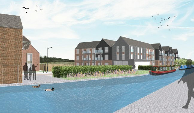
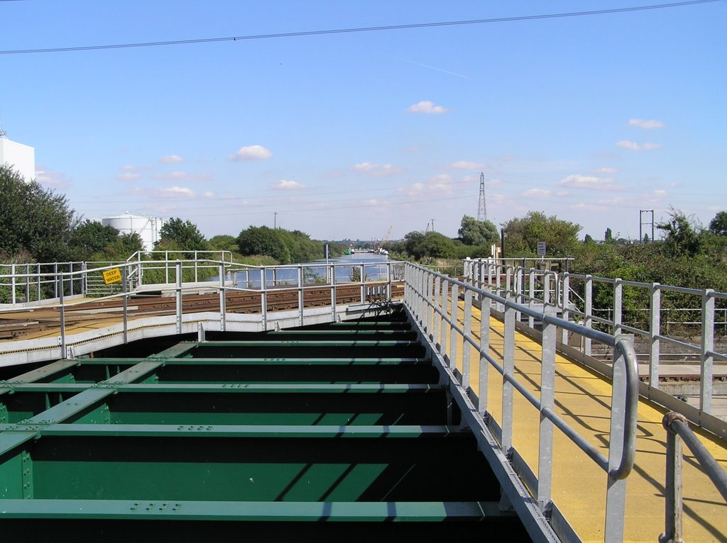


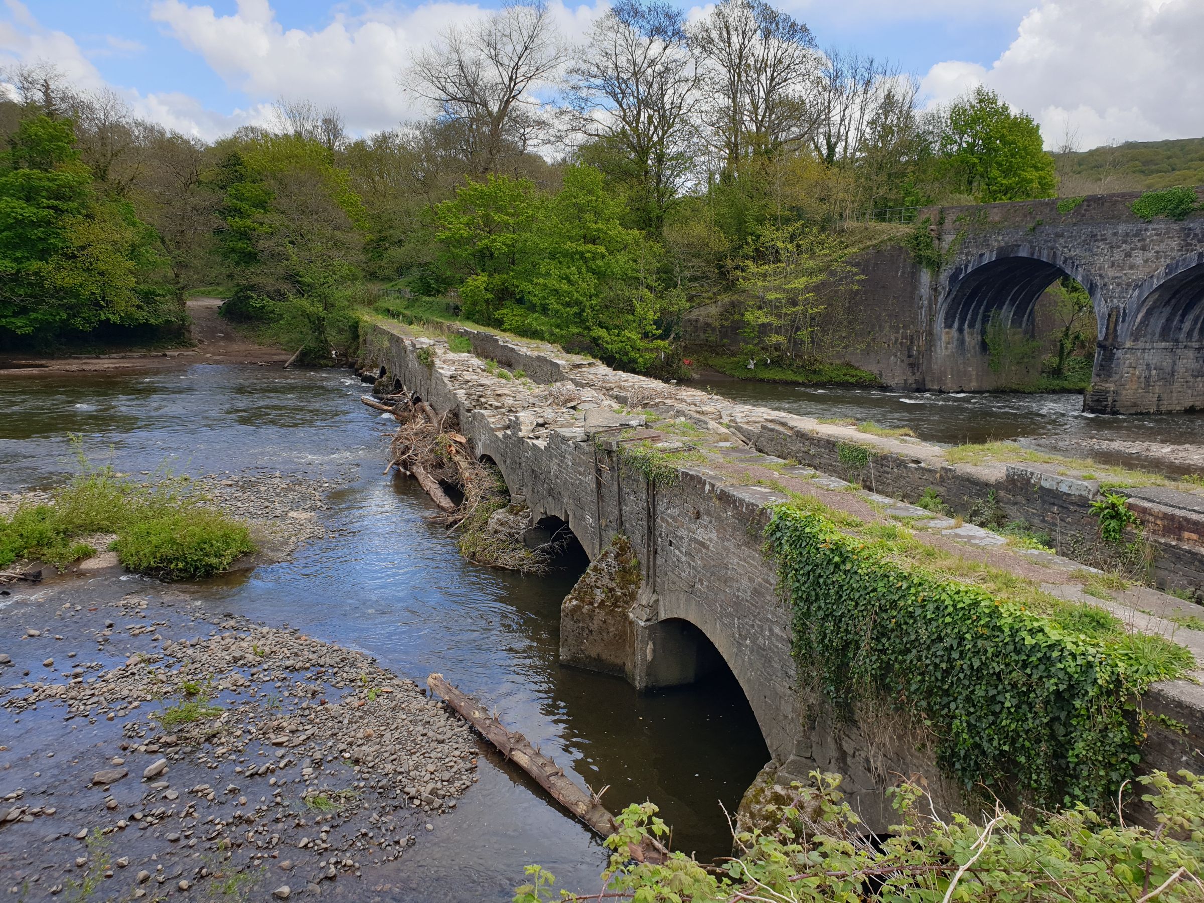
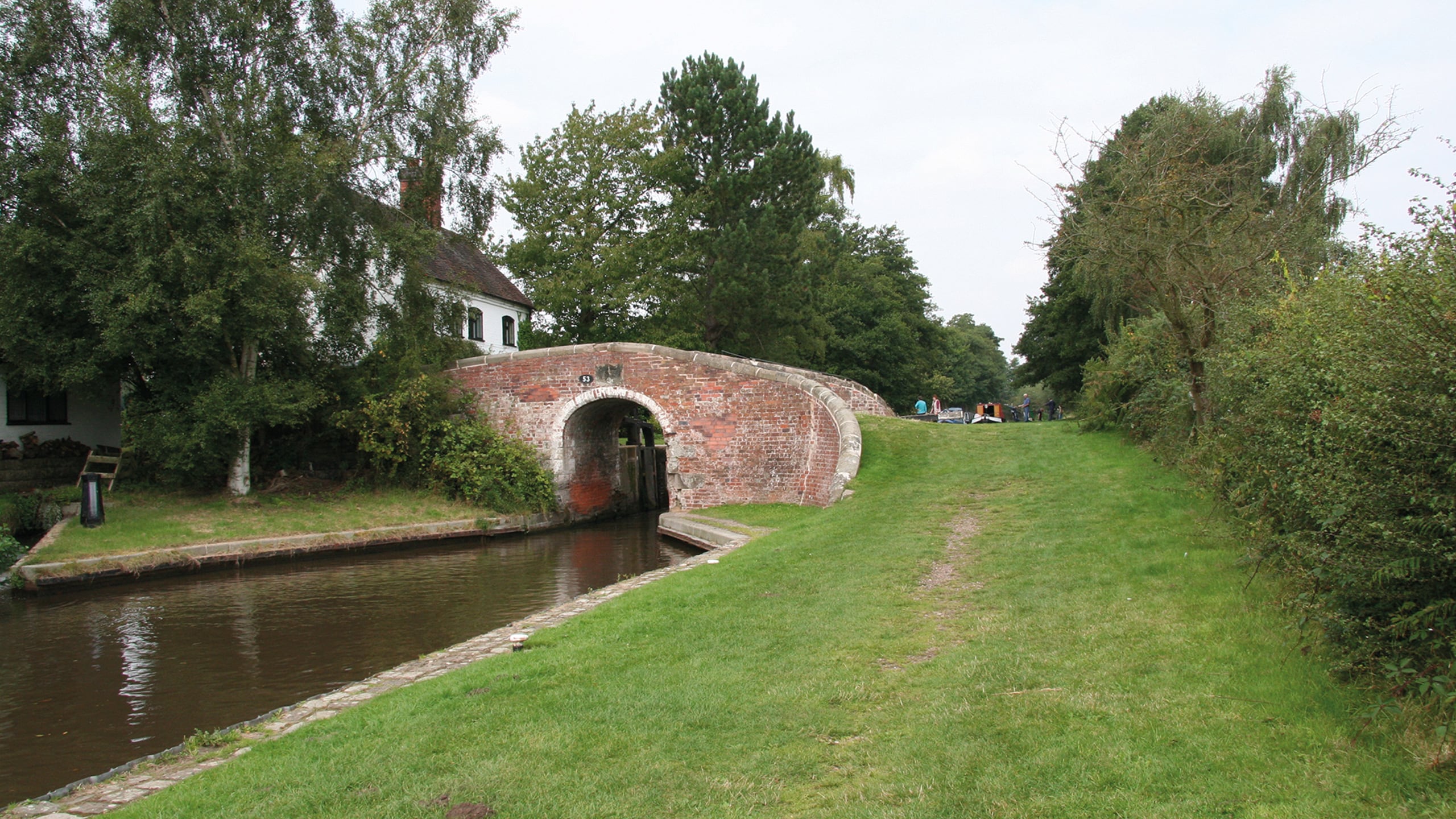


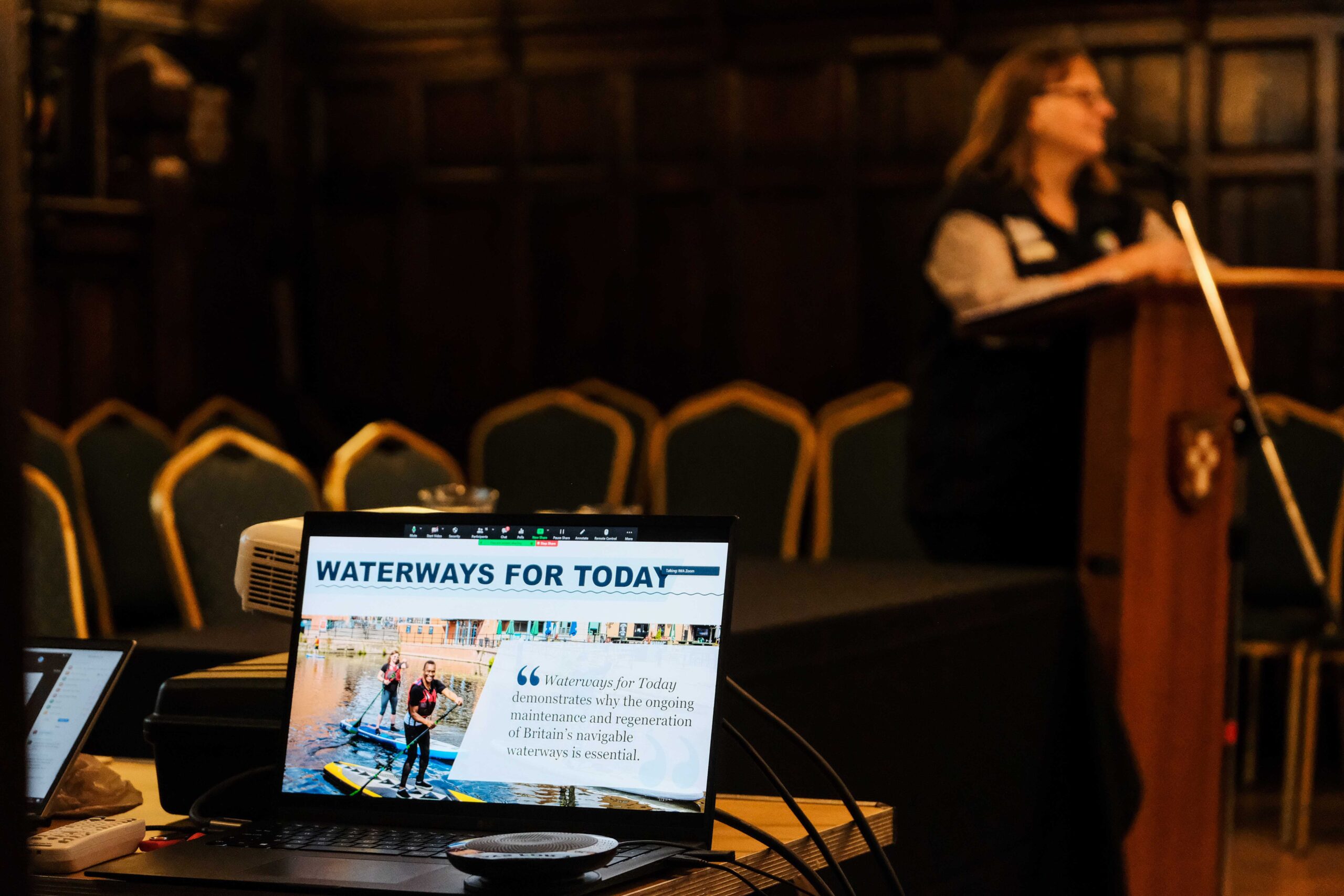


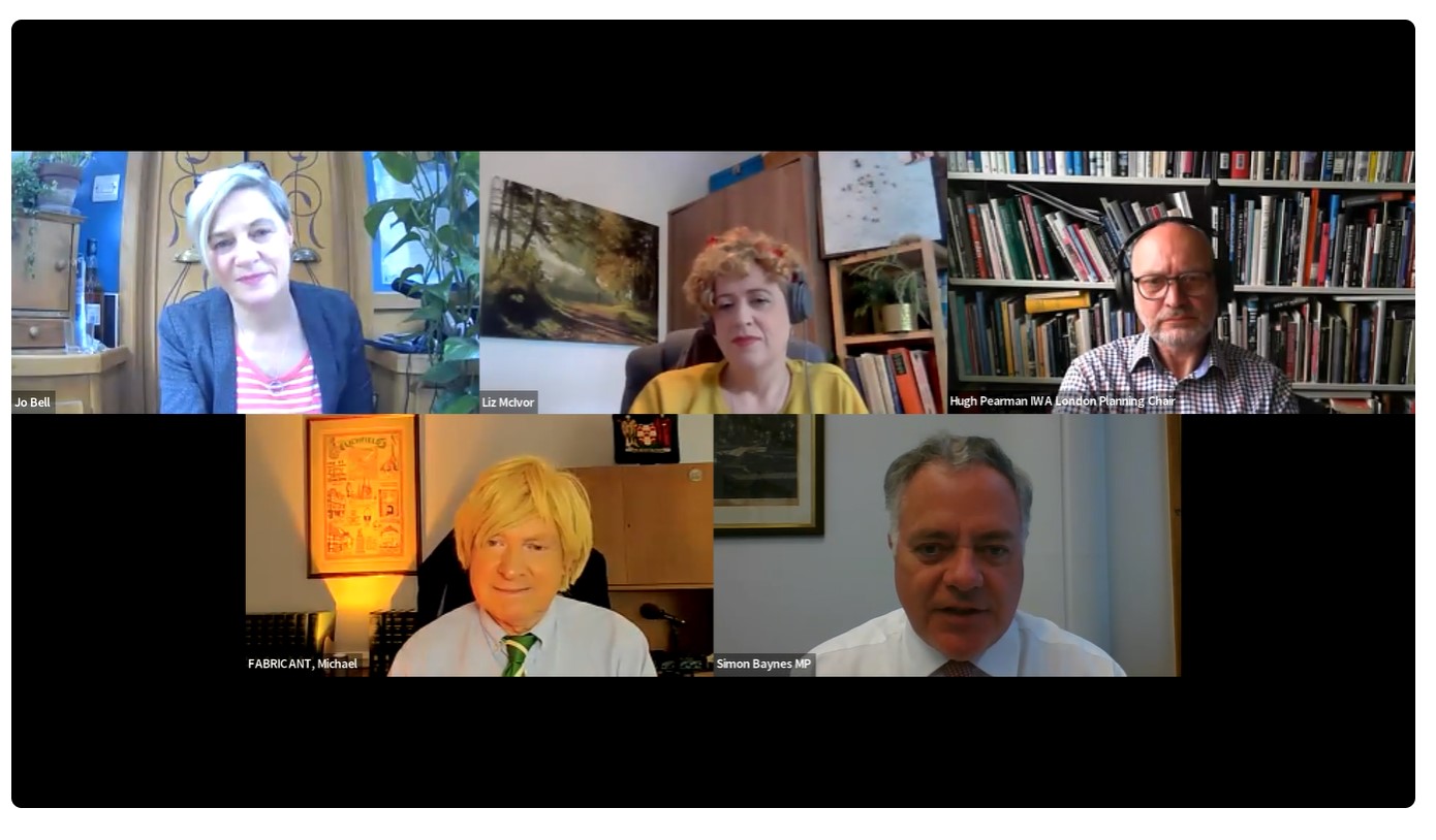

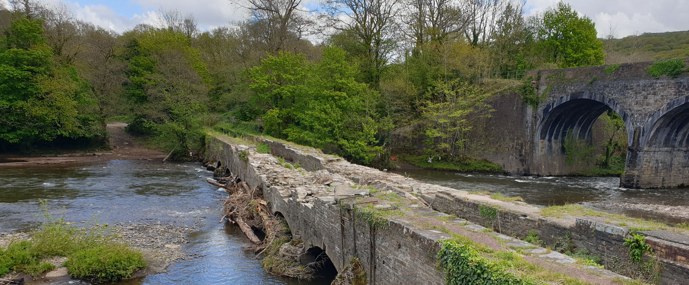
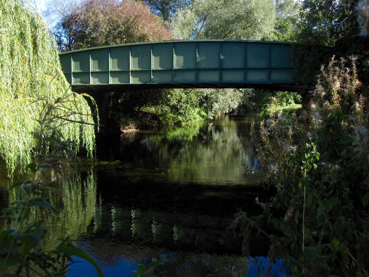

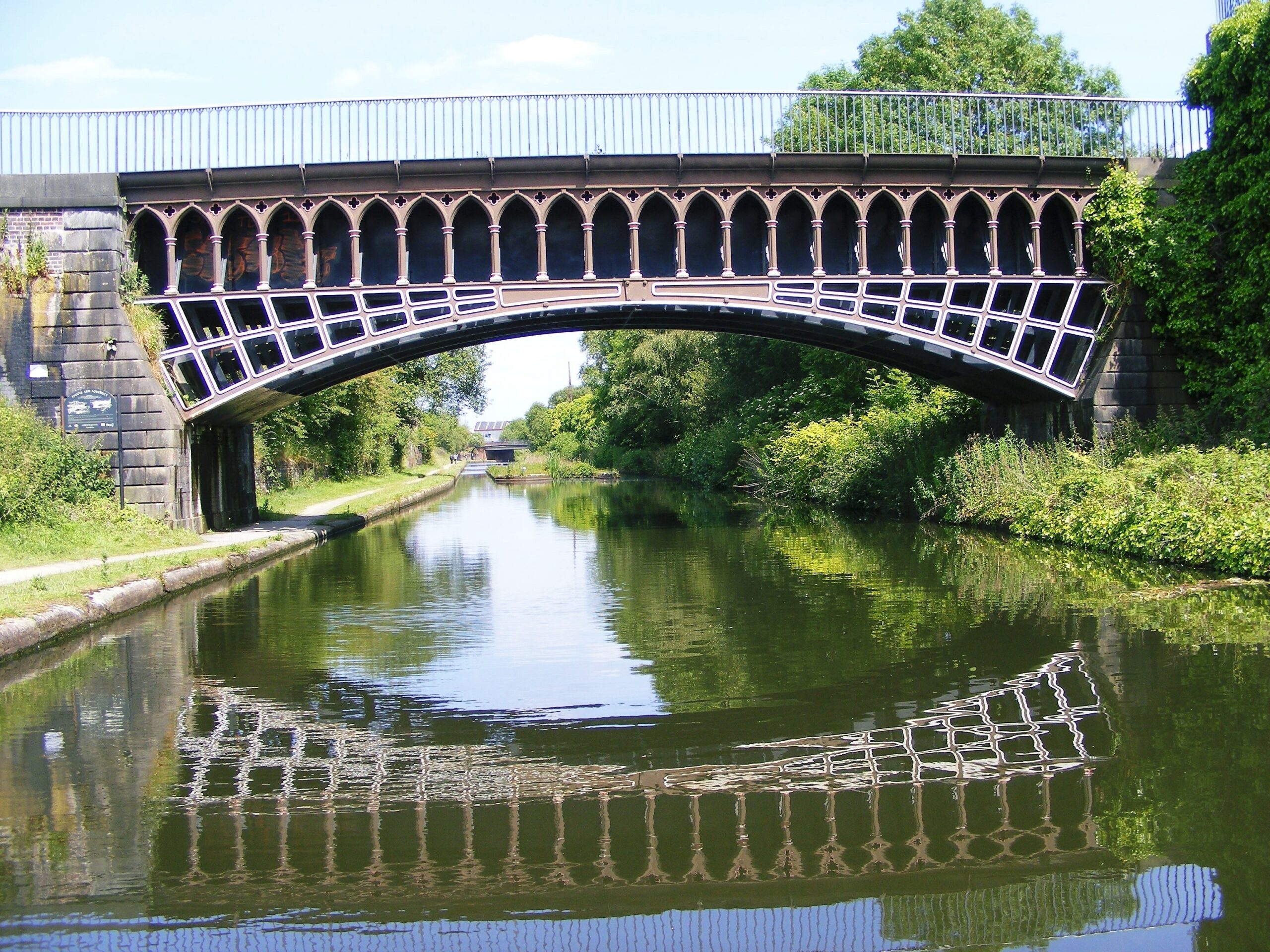


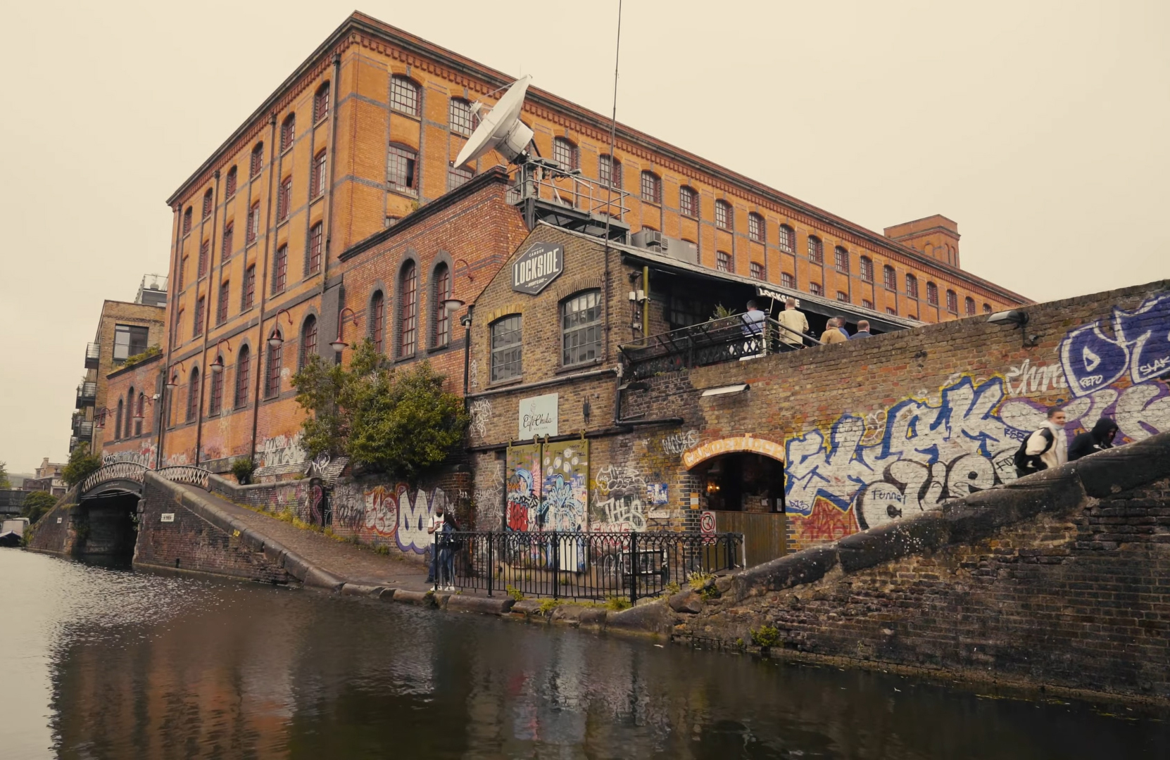
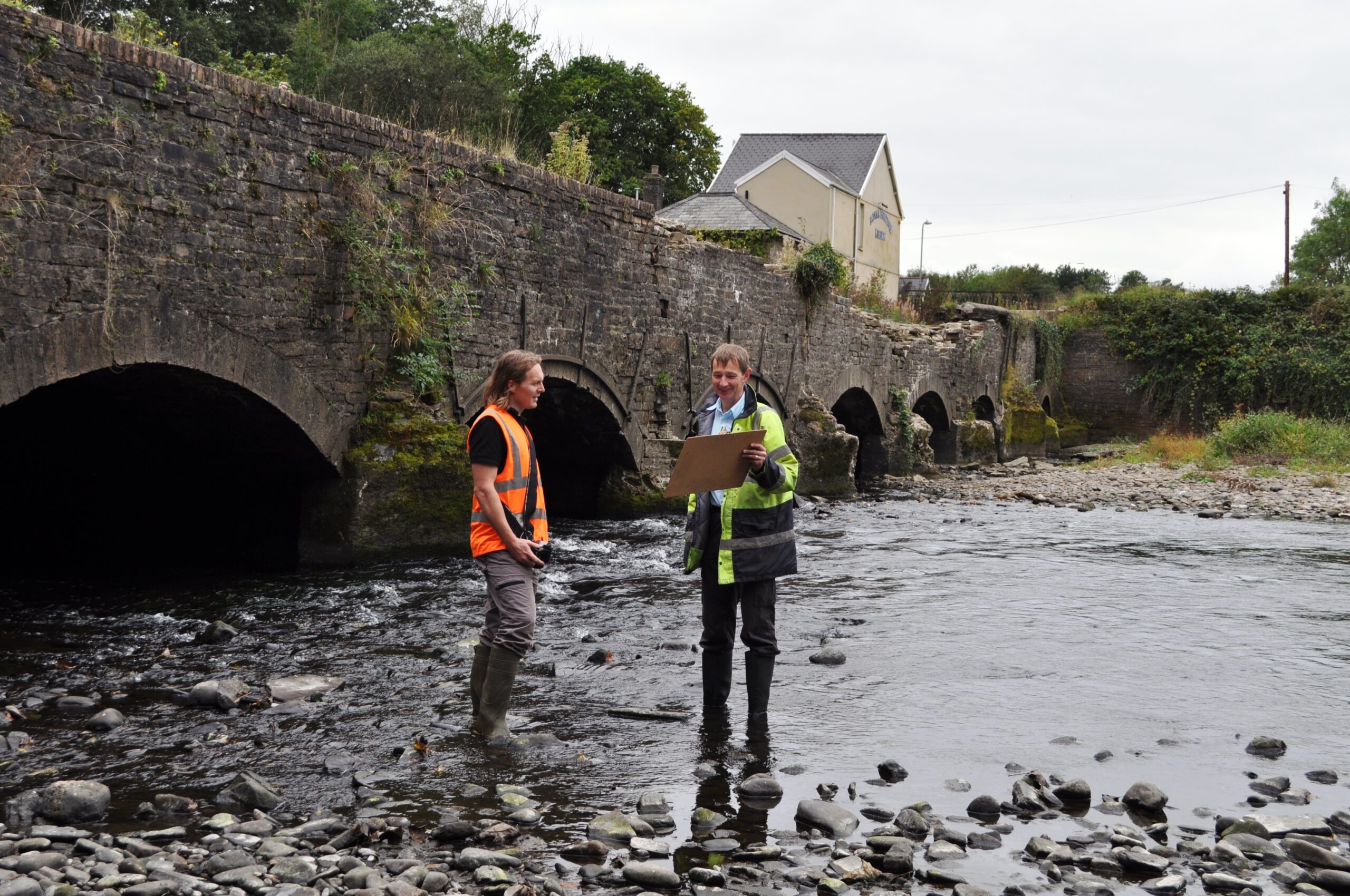
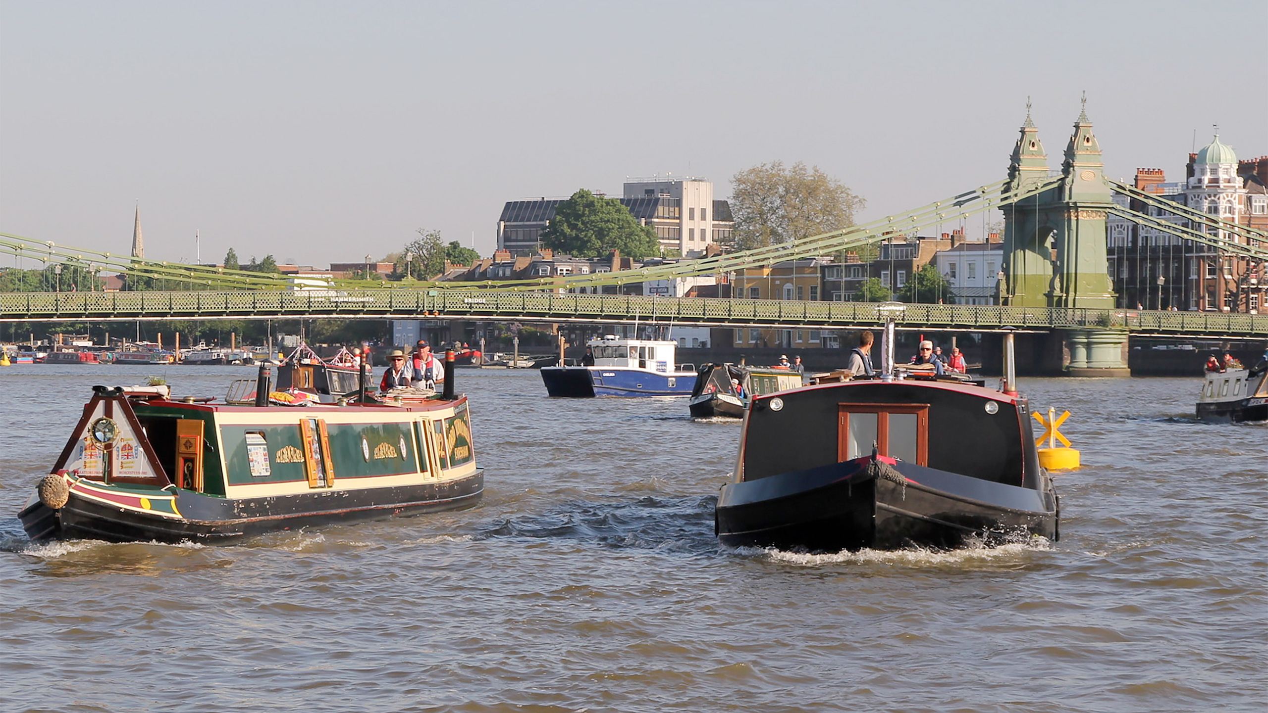


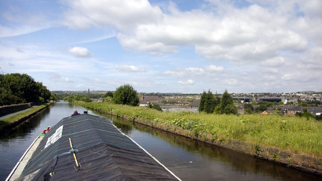


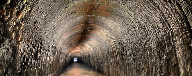
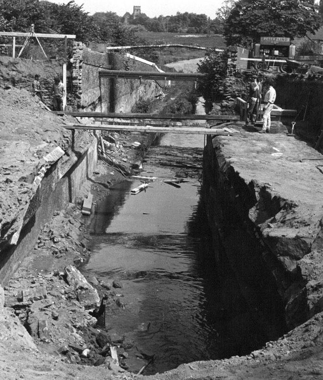 Photo: Armitage Tunnel during removal of the tunnel roof in 1971. Photo by Harry Arnold, Waterways Images.
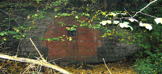 Photo: Norwood tunnel portal on the Chesterfield Canal line.
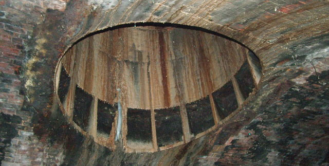 Photo: Air shaft in Netherton Tunnel. Photo by Peter Evans.
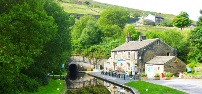 Photo: Standedge Tunnel on the Huddersfield Canal. Photo by Bob Haigh.
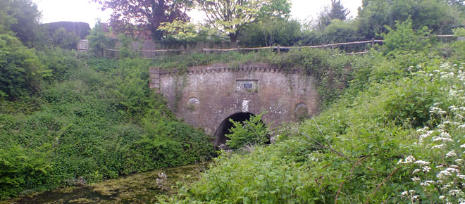 Photo: Eastern Portal of Greywell Tunnel. Photo by John O’Hare
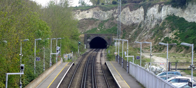 Photo: Higham Tunnel. Phot by John O’Hare.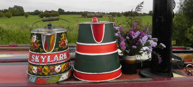
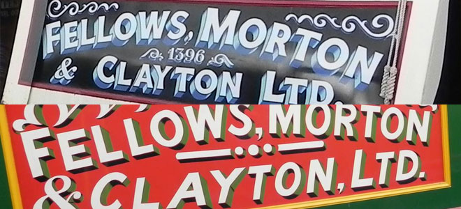
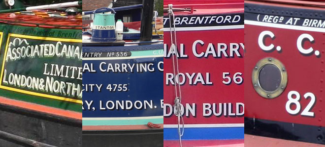
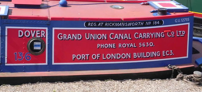 Image: Town Class Motor Dover in full GUCCCo livery and signwriting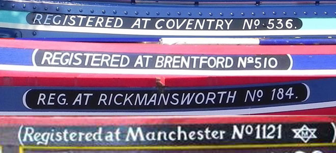
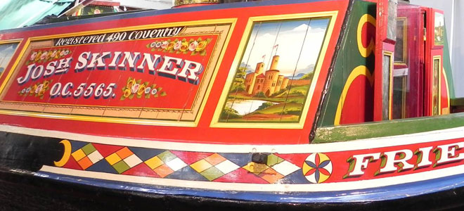 Image: Narrow boat Friendship, now at Ellesmere Port Boat Museum, showing high level of decoration and painting
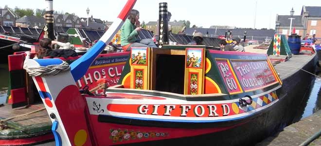 Image: Thomas Clayton’s horse boat Gifford, also at Ellesmere Port, showing tiller in up position
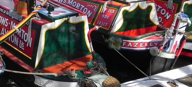 Image: This photo shows the cabin of a motor boat (with gunwhales) and the cabin of a butty (without)
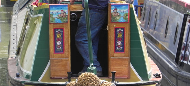 Image: Town Class Motor Whitby showing the tumblehome on the cabin
 Image: Carrying companies tended to supply flat boxes or plainer pigeon boxes, as shown here. The more decorated pigeon boxes tended to be owned by the boatman himself and would be taken with him if he changed boats.
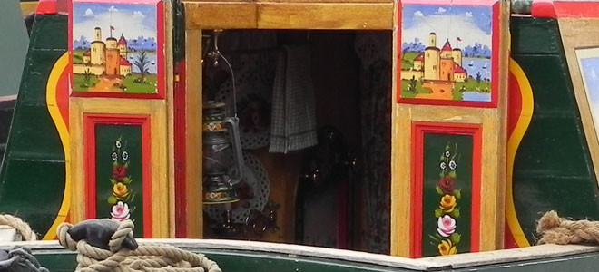 Image: A tantalising glimpse into a back cabin – despite the pride that boatmen felt in the overall appearance of their boats, cabins were always very private places and it was considered rude to look inside someone else’s cabin unless invited.
 Photo: The water supply for the whole family – a system still used today by many owners of unconverted historic boats
 Image: Mops and water cans at IWA Waterway Festival at Beale Park in 2010
 Image: A beautifully decorated cratch board on Malcolm Braine’s boat Cactus, painted specially for the Queen’s Diamond Jubilee in 2012
 Image: This photo of Southern Cross at the Braunston Historic Boat Gathering in 2014 shows the cratch and top planks in position at the front of the boat, and the planks lowered along the rest of the hold. Note the smartly painted stands and mast (which consists of the decorated wooden ‘boxmast’ and the metal ‘topmast’ and ‘looby’ above the planks).
 Image: This photo shows Skylark, built by WJ Yarwoods & Sons of Northwich for WH Cowburn & Cowpar Ltd (see Blog 2 in this series) in dry dock for blacking. The photo is looking forwards and shows the rudder, the propeller and the swim (the back of the hold as it narrows towards the back of the boat). The “uxters” is the bottom plate above the propeller.
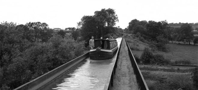
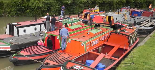
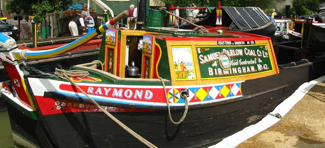
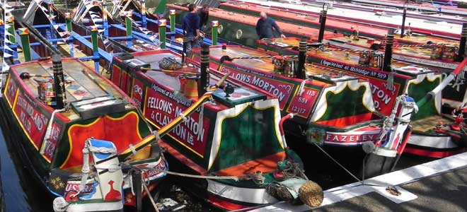
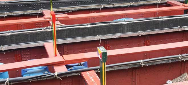
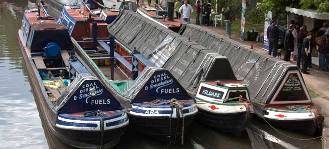
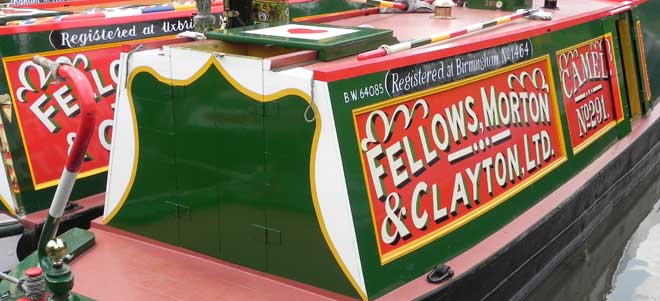
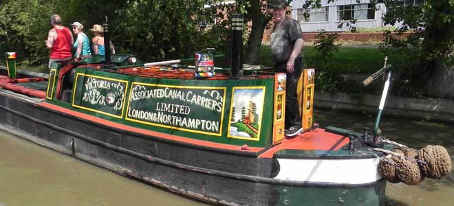
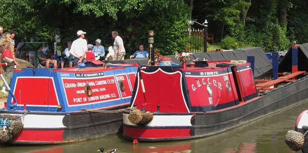
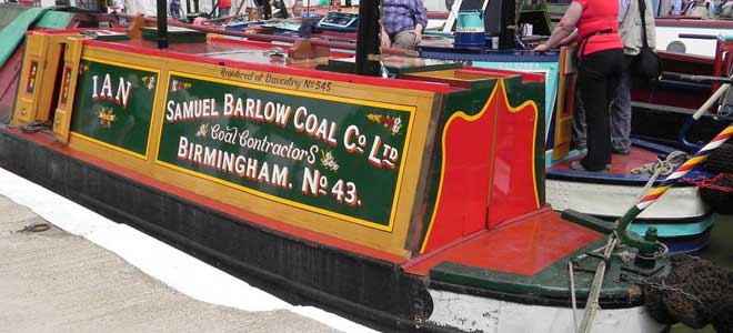
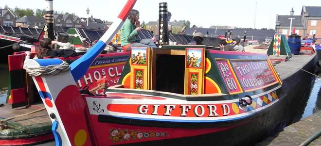 Image: Gifford, the only Clayton’s horse boat to survive in an unconverted condition, restored and maintained by the Boat Museum Society at Ellesmere Port (photo by Alison Smedley)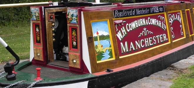
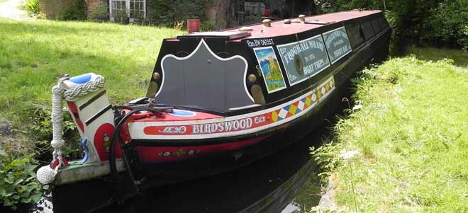
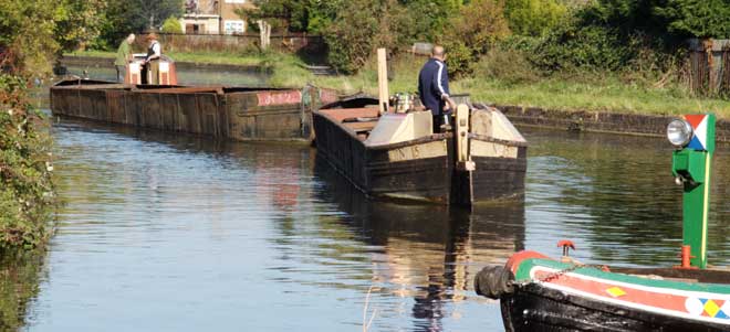
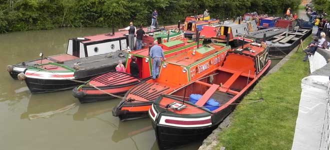
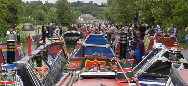
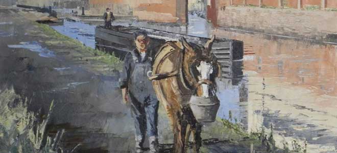 (Photo – oil painting by Harley Crossley)
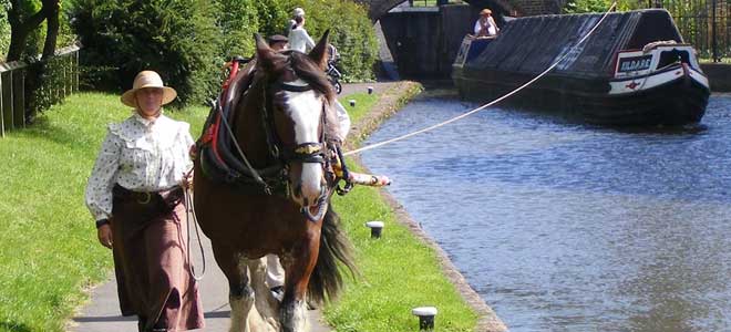 (Photo – horseboating – ‘Kildare’)
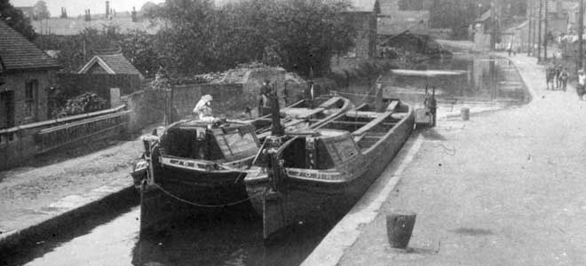 (Photo – pair of horse boats at Berkhamsted)
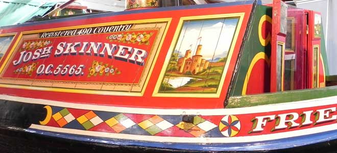 (Photo – narrow boat ‘Friendship’)
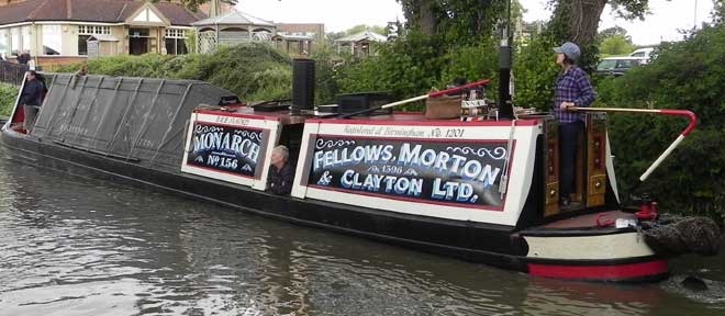 (Photo – FMC Steamer ‘Monarch’)
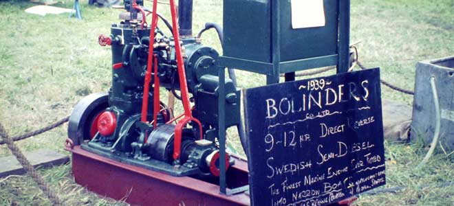 (Photo – Bolinder engine)
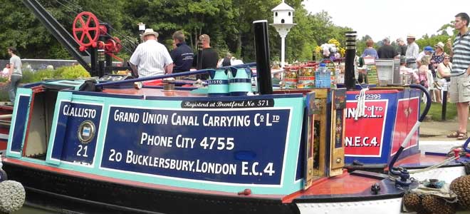 (Photo – two GUCCCo motor boats)
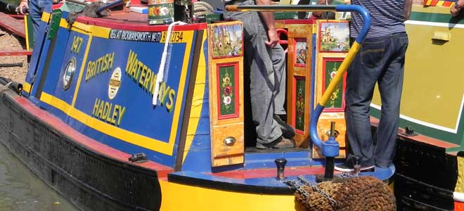 (Photo – ‘Hadley’ in British Waterways livery)
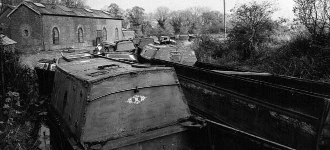 (Photo – Abandoned boats on the Wendover Arm)
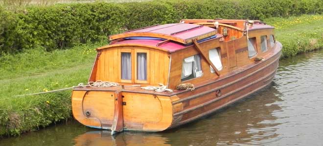 (photo – an early purpose built narrow beam pleasure boat)
 (Photo – these days anyone who wants to can go boating on an historic working boat – by going on an hotel boat or a camping boat)